The Kumano Kodo: The Sacred Trail to Kumano
Deep in the Kii Peninsula sit the Three Kumano Shrines: Kumano Hongo Shrine, Kumano Hayatama Shrine, and Kumano Nachi Shrine. Since ancient times, the Kumano Kodo Trail has led pilgrims and casual travelers to those shrines. Of course, now there are faster means to reach these shrines, but if you walk those trails to Kumano, you will realize why Kumano is considered sacred.
About Kumano Kodo
The History of the Kumano Kodo
The Kumano Kodo is a sacred trail that brings pilgrims to the sacred three shrines of Kumano, located deep in the forest in the Kii Peninsula. In the late Heian Period, during the spread of Pureland Buddhism, those shrines were viewed as holy, and emperors and aristocrats would often make several trips to Kumano.
Traditionally, they sailed from Kyoto to Osaka along the Yodogawa River and landed at Hachikenya Port in Osaka (near Tenmabashi). From there, they walked along the coast down to Kiiitanabe, and from Kiitanabe they walked through the mountains to Kumano. First, they would visit Kumano Hongu Shrine and then sailed down the Kumanogawa River to Kumano Hayata Shrine, and finally to Kumano Nachi Shrine. It was a long trip from Kyoto (600km) long trip from Kyoto would take roughly a month to complete.
All the trails from Osaka to Kumano used to be called”Kiiji“, but later the section from Osaka to Kiitanabe became “Kiiji” and the section from Kiitanabe to Kumano became “Nakechi“. As time went on many other trails developed along those traditional roads. For example, the trail from Kiitanabe to Kumano along the coast via Kushimoto is called “Ohechi”, the trail from Mt. Koya to Kumano is “Kohechi”, and the trail from Ise to Kumano is “Iseji”.
What’s an Oji?
Once you are on the Kumano Kodo, you will immediately see many little shrines called Oji. What are they? Those little shrines were built to help guide people to Kumano in the 12-13th century and enshrine the gods of Kumano. Emperors and aristocrats used to drop by all those Oji shrines to pray for their safe trip to Kumano.
There are particularly important Oji, called Gotai Oji: Fujishiro Oji, Kirime Oji, Inabane Oji, Takijiri Oji, and Hosshinmon Oji.
The very first Oji is located near Hachikenya Port in Osaka at the start of the Kiiji Trail. However, quite unfortunately, many Oji shrines no longer remain (save for a lone stone marker) or moved to a nearby shrine. Only a few remain as they were hundreds of years ago.
Kumano Kodo: The Roads to Kumano
Kiiji Trail
Traditionally used for the Kumano Pilgrimage, the Kiijii Trail starts from Osaka City and ends in Kiitanabe in south Wakayama, before becoming the Nakehechi Trail. Even though most of the Kiiji Trail goes on paved roads through quiet neighborhoods, there are many interesting historic spots allowing you to enjoy the local culture of both Osaka and Wakayama.
Accessibility
The Kiiji Trail goes along the JR Hanwa Line in Osaka and then the JR Kinokuni Line from Wakayama, and both lines have frequent train service. So, you can easily plan a day hike.
| Kiiji | |||
| Section | Distance | Points of Interest | |
| 1 | 5km | Shitennoji Temple, Abeno Seimei Shrine, Abe Oji Shrine | |
| 2 | 25km | Sumiyoshi Shrine, Otori Shrine | |
| 3 | 30km | Shidachi Post Town, Biwa Cliff, Yamanaka River, Yamanakadani Post Town | |
| 4 | 30km | Kinokawa River, Idakiso Shrine | |
| 5 | 20km | Fujishiro Shrine, Fujishirasaka, Hai no Pass, Tokushoji Temple, Itoga Pass, | |
| 6 | 20km | Shishigase Pass, Dojoji Temple | |
| 7 | 15km | Shioya Oji Temple | |
| 8 | 20km | Senri Coast, Kishu Plum Museum, Sodesuriiwa Coast | |
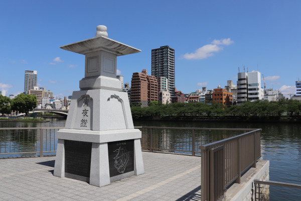
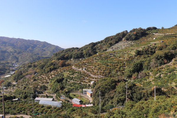
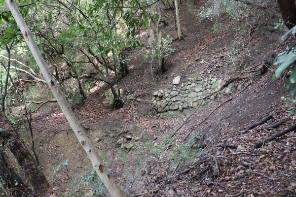
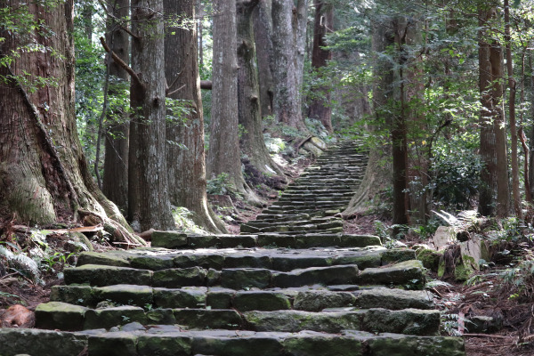
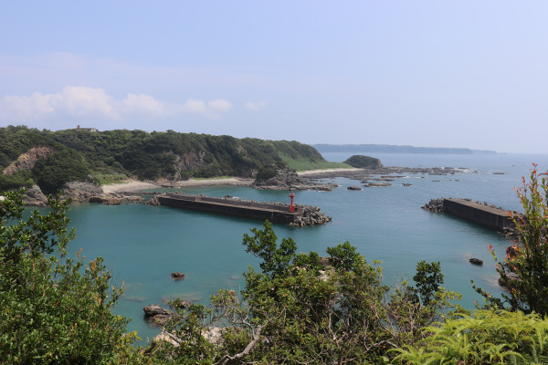
Kiiji: Picture Gallery
Nakahechi Trail
Together with the Kiiji Trail, the Nakahechi Trail is traditionally used for the Kumano Pilgrimage. From Kii Tanabe, it goes along Tonda River to Takijiri Oji and then the mountain trail starts from Takijiri Oji.
Accessibility
There is some bus service available once an hour along Nakahechi, so it wouldn’t be so hard to finish the trail.
| Nakahechi | |||
| Section | Distance | Points of Interests | |
| 1 | Kiitanabe-Takijiri Oji | 25km | Inabane Oji |
| 2 | Takiji Oji-Tsugizakura Oji | 20km | Gyuba Doji |
| 3 | Tsugizakura Oji-Kumano Hongu Shrine | 20km | |
| 4 | Kumano Hongu Shrine-Kumano Nachi Shrine | ||
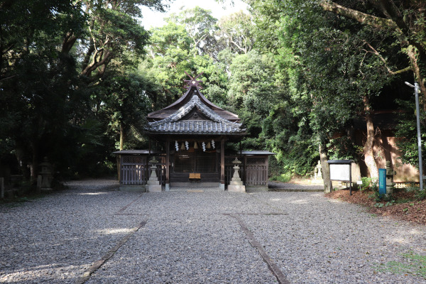
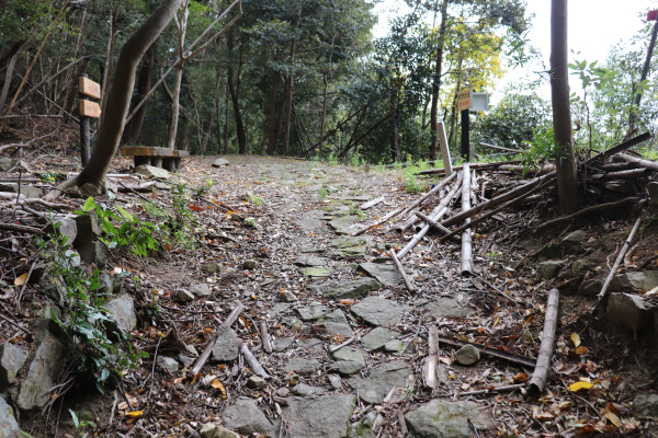
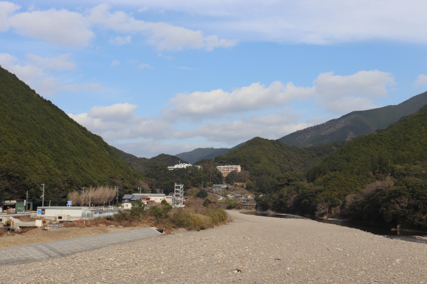
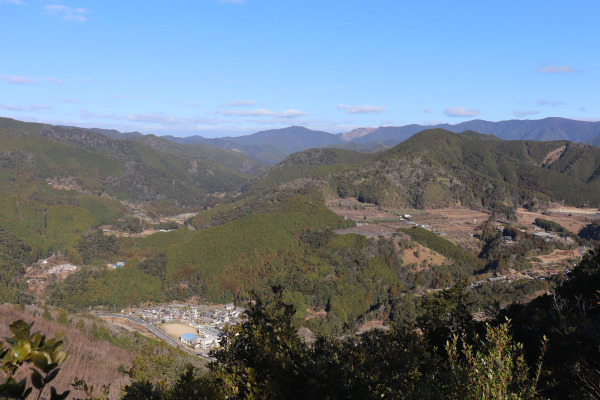
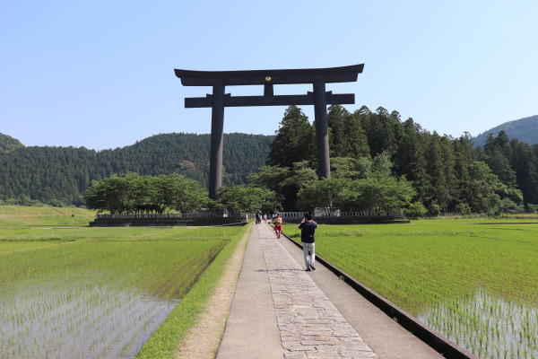
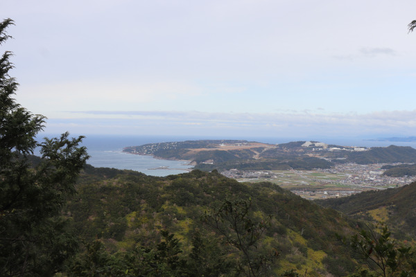
Kakahechi: Picture Gallery
Ohechi Trail
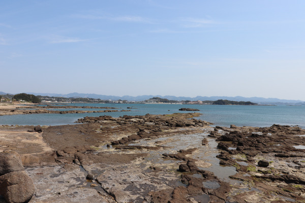
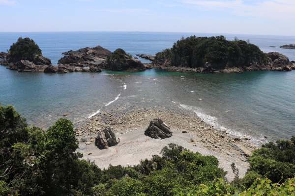
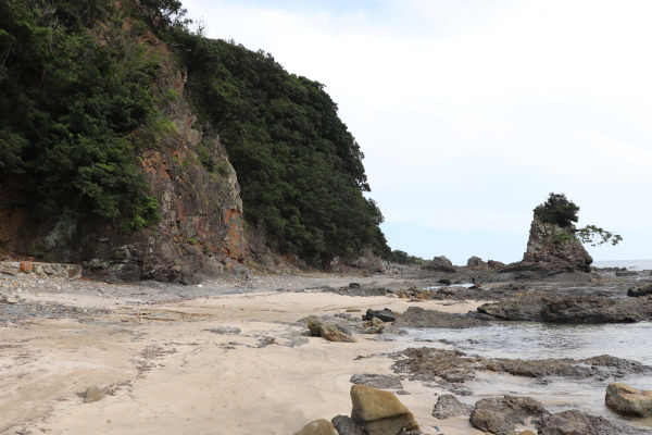
While the Ohechi trail doesn’t have as long a history and most of the trail is paved it does go along the coastline of the Kii Peninsula and is by far the prettiest way to get to Kumano. Part of the Ohechi is registered as a UNESCO World Heritage Site and you can visit the Nanki Kumano Geopark where you can see all kinds of unique geological formations!
Accessibility
The Ohechi mainly goes along the JR Kinokuni Line via Susami and Kushimoto, but trains only come once every two hours, so it’s really hard to make this a day trip. However, because there are many tourist spots on Ohechi, there are plenty of hotels.
| Ohechi | |||
| Section | Distance | Points of Interest | |
| 1 | Kii Tanabe-Kii Tonda | 20km | Tokei Shrine, Horo Wormhole Rock, Tonda River |
| 2 | Kii Tonda-Susami | 25km | Tondazaka, Hotokezaka, Ago River Cross, Susami Beach |
| 3 | Susami-Wabuka | 20km | Umakorobizaka, Nagaizaka, Karekinada Coast, Satono Beach |
| 4 | Wabuka-Kii Airta(Kushimoto) | 20km | Nitta Hiramimichi, Toyama Hiramimichi, Tobiyatanimichi, Kushimoto Marine Park |
| 5 | Kii Arita(Kushimoto)-Koza | 10km | |
| 6 | Koza-Kii Urakami | 20km | Takaike Wormhole Rock, Hachiro Pass |
| 7 | Kii Urakami- Nachi | 20km | Urakami Pass, Fudarakusan Temple |
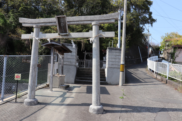
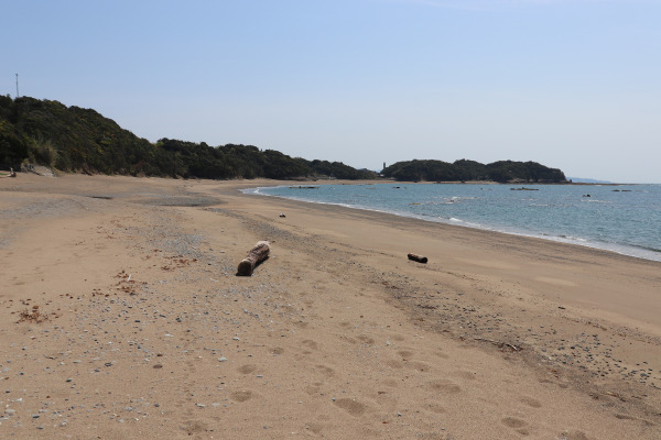
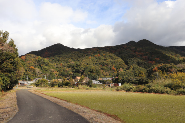
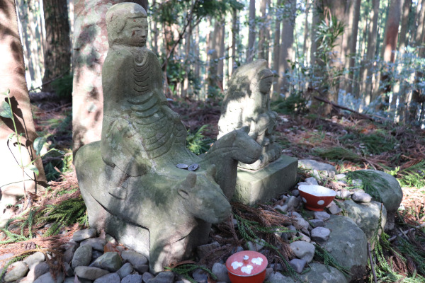
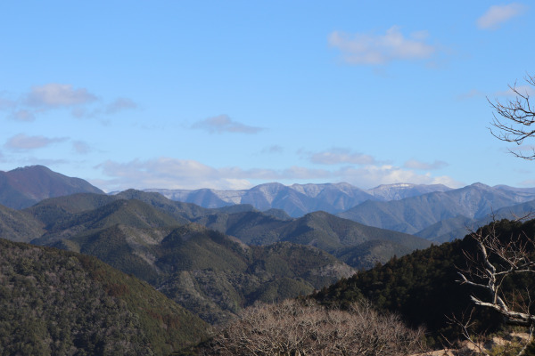
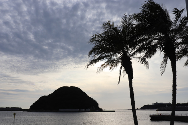
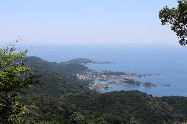
Ohechi: Picture Gallery
Kohechi Trail
The Kohechi Trail connects two of Kansai’s holiest places: Mount Koya and Kumano. The Kohechi Trail crosses the Kii Peninsula from north to south and has several large passes whose altitude reaches more than 1,000 meters! They are the Oboshi Pass, Miura Pass, and Hatenashi passes. The trail goes pretty deep into the mountains and this portion requires a good deal more hiking gear than just a day pack and some boots.
Accessibility
Unfortunately, there is almost no public transportation is available. If you want to complete this trail, you need to bring a sleeping bag and get ready for a few nights under the stars!
| Kohechi | |||
| Section | Distance | Points of Interest | |
| 1 | Mt. Koya ― Omatabashi | 15km | Coming soon! |
| 2 | Omatabashi-Miuraguchi | 15km | Coming soon! |
| 3 | Miuraguchi-Totsukawa | 20km | Coming soon! |
| 4 | Totsukawa-Kumano Hongu Taisha | 15km | Coming soon! |


Leave a Reply