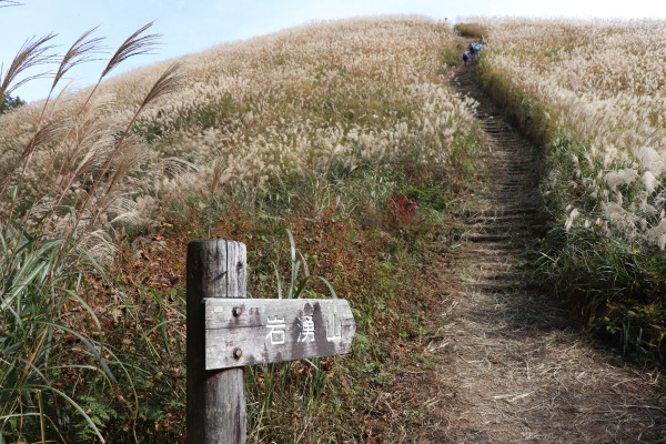
Mt. Iwawaki: Susuki Paradise in Osaka
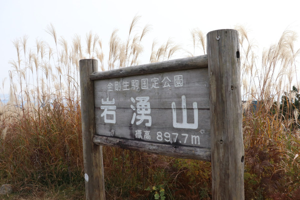
Fall is a great time for a hike. The cooler weather makes longer hikes more pleasant and the crisp air is refreshing. One of the more popular hikes during this season for many in the Kansai region is Mt. Iwawaki. At 897m high, it is one of the tallest mountains in the prefecture granting beautiful panoramic views from the top. For most though, it is its close proximity to Osaka City and the Chinese silver grass (susuki in Japanese) that covers its peak that makes Mt. Iwawaki an extremely popular spot for novice hikers and photographers.
Mt. Iwawaki
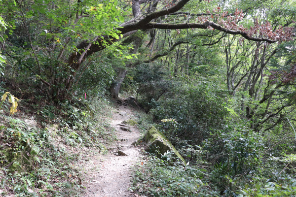
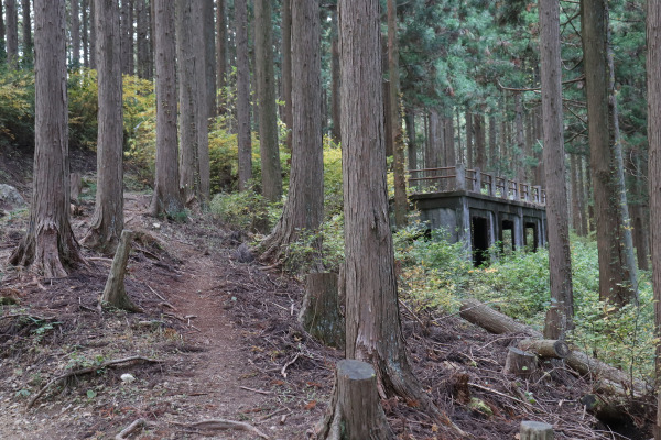
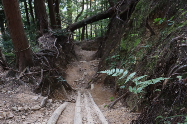
Climbing up Mt. Iwawaki from Takihata Dam
The first destination on the way to Mt. Iwawaki is Kwachinagano Station and from there Takihata Dam, almost an hour away. When we arrived at Kawachinagano Station, we saw a very, very long line. We were reassured that there was an additional bus coming to accommodate the crowd, but it is something to keep.
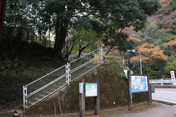
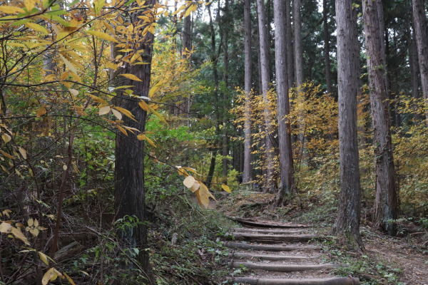
It takes a while from Takihata Dam to reach the official start of the trailhead (which is right next to a bathroom). This trail is 11km and goes to Kimi-toge Station via Mt. Iwawaki, and is about 4-5 hours. It is also part of the much longer “Diamond Trail”, a 45km long trail that traverses the Kongo Mountain Chain.
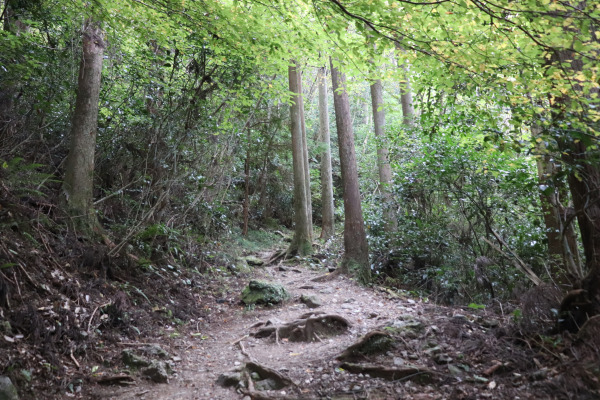
The first 1/3 or so of the trail up to Kakizako, is the steepest, but after that, the trail levels out and is pretty easy from that point onward.
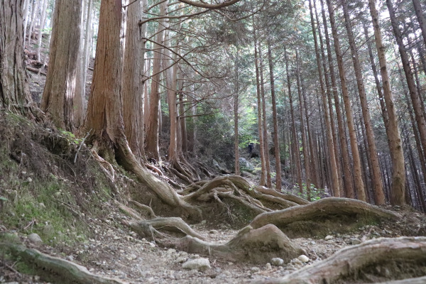
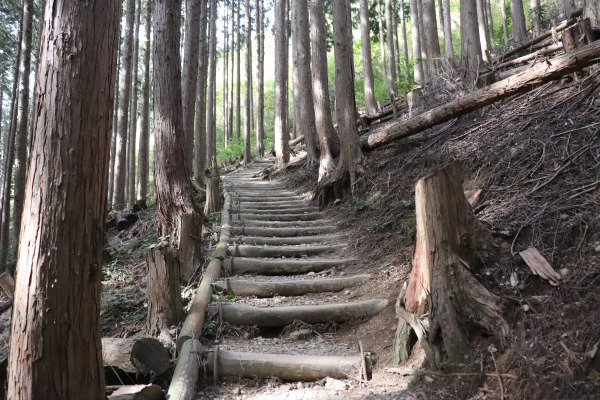
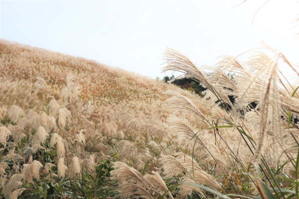
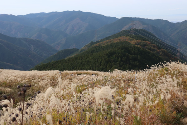
Mt. Iwawaki
After an hour and a half walk from Takihata Dam, the path suddenly opens up just before you reach the stairs leading to the mountain top. The top is completely covered with susuki, making the sides of the mountain top a soft silvery color. Strangely, none of these plants are native but instead are cultivated to make the thatched roofs of traditonal Japanese buildings.
。
The susuki can be seen after September in Mt. Iwawaki, but they are truly at their best in late October to early November!
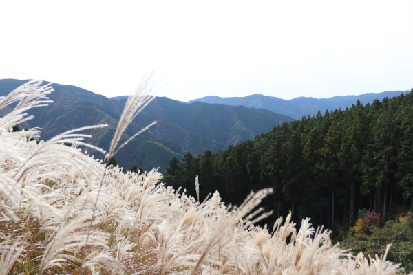
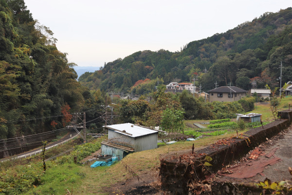
From the top of Iwawaki the scenery is absolutely stunning. You can see almost the entirety of Osaka!
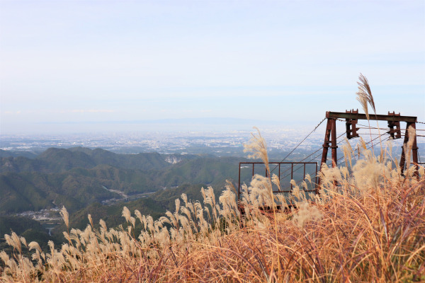
Most like to picnic at the top of the mountain. They will often bring portable burners to make things like coffee, curry, or instant noodles. Mt. Iwawaki does not have a large open field around the top, so if you come around noon, you may have a hard time finding a spot to eat your lunch!
Mt. Iwawaki to Kimi-toge Station
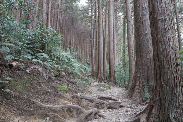
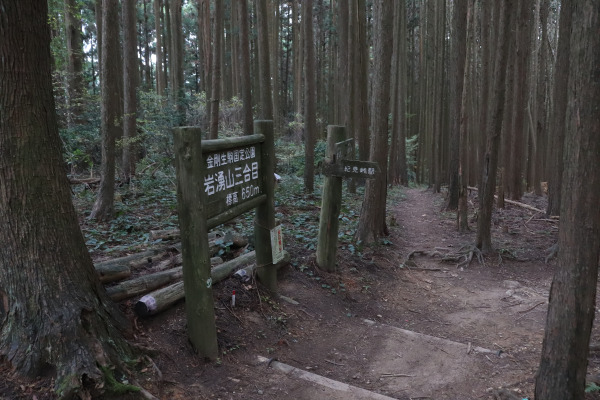
From the summit of the mountain it is a 2-hour hike down. Up till the 3 Go-me Point, the trail is pretty comfortable and easy to walk.
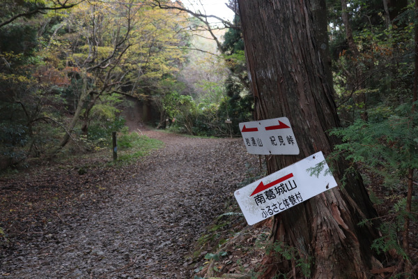
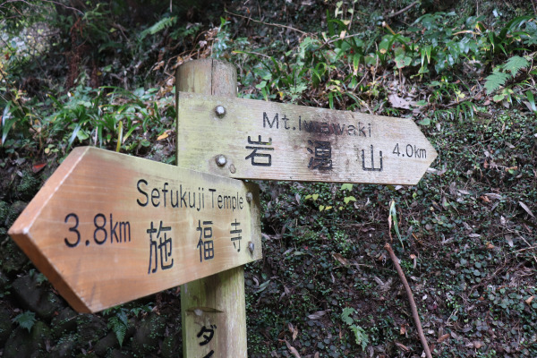
At the 3 Go-me Point, the trail separates from the Diamond Trail. If you keep straight the Diamond Trail will take you to the Kimi Pass and if you go to the right the trail will take you directly to Kimi-toge Station. Either trail will take you to Kimi-toge Station as the Kimi Pass is only 30 minutes away, but many people who hike Mt. Iwawaki chose to go right.
Once you see the small stream right next to the trail you know the goal is almost there!

After a brisk hike in the warm autumn, we came to the bottom of Mt. Iwawaki. The Nankai Railway tunnel that crosses the Kimi Pass is right next to the mountain trail. Since we took out time on the trail, it took a bit more than two hours to reach the end of the trail. Still, all in all, it was a 5 hours hike from Takihata Dam.
If you are a novice hiker or just in the mood for an easy hike this trail is perfect! It’s just long enough to feel a little tired, but not enough to exhaust you. Also, except for the beginning, the trail isn’t that steep at all. Not to mention, the beautiful view from the top is really worth experiencing!
Information:
| Address |
|
| Website |
|
| Getting To |
Takihata Dam: Take a bus from Kawachinagano Station for Takihata Dam. The bus leaves around 8:30 or 9:00 o’clock. After 9:00 clock, there are no more buses until 11. Kimi-Toge: The trail head is 15 minutes away from Kimi-toge Station Nankai Koya Line. It takes 45 minutes from Namba. |
| Hours |
N/A
|
| Price Range |
Free
|
| Note |
|


Leave a Reply