Keihoku Course 2: Hiking the Kyoto Circuit Trail
To the north of Kyoto City lies the wild Keihoku area. Many visitors to Kyoto are likely unfamiliar with this area since it doesn’t have your typical tourist attractions and is a bit far from the center of Kyoto. Rather, what draws most people to Keihoku is its remoteness. Hikers and outdoors enthusiasts regularly set out on the Keihoku Course, a 40km section of the Kyoto Circuit Trail that as the name implies, goes through Keihoku. A relatively easy hike, the Keihoku Course is a great change of pace for someone who has already seen the major attractions of the city
Note: See here for the other entries of our Kyoto Isshu Trail (Kyoto Circuit Trail) series.
Keihoku Course: Part 2
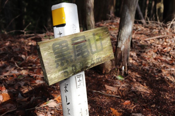
Tsutsueguchi – Mt. Kuroyama
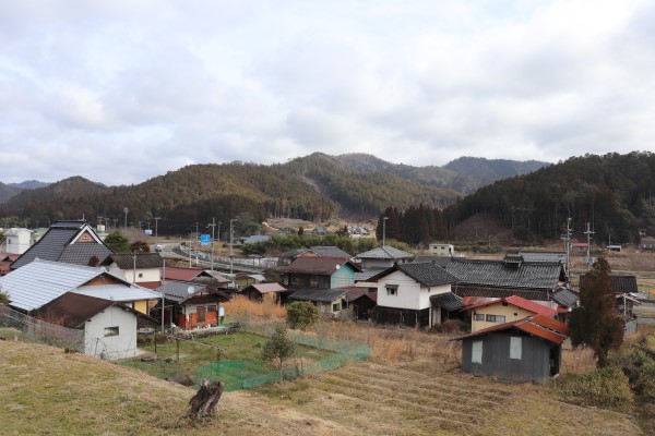
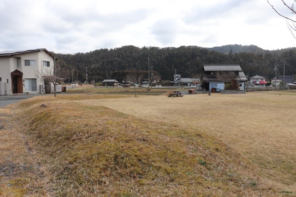
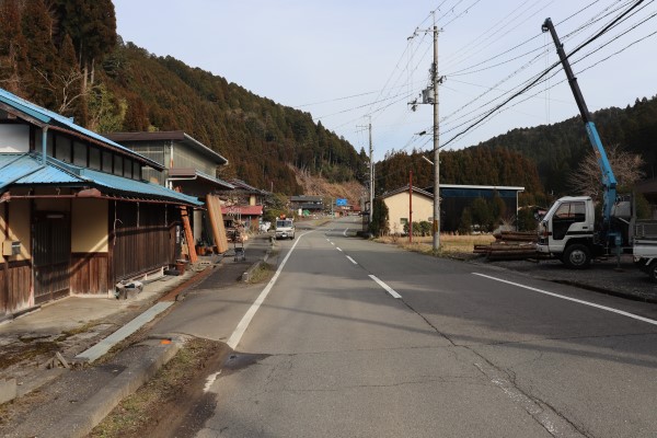
To get to the start of the trail head to the city of Shuzan, which is an hour by bus from Kyoto’s city center. Shuzan is the largest community in Keihoku. It has the only supermarket in Keihoku, so we suggest stocking up on your supplies here before you head out! From Shuzan, we had to walk all the way back to the Tsutsueguchi bus stop in Yuge (5km north of Shuzan) along Route 162.
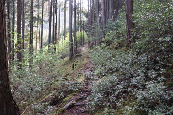
From Tsutsueguchi, the trail goes through a large field that is part of Keihoku to Incorporation Memorial Forest (Gappei Kinen no Mori).
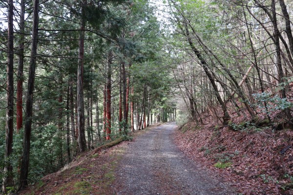
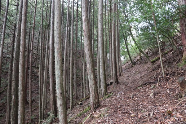
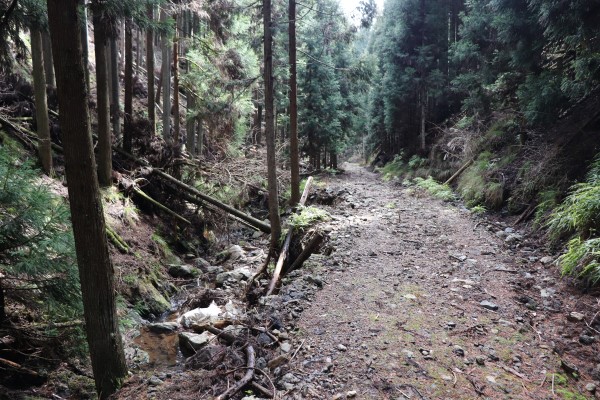
Once you cross the Yadan River, you will enter the Incorporation Memorial Forest. This forest was created when Keihoku was incorporated into the boundaries of Kyoto city. It is quite comfortable to walk around here.
After going through Incorporation, you will be in the community of Kumata. Now is a good time to remind you that bears (kuma) are not terribly uncommon in Keihoku. It is advisable to have a bear bell with you, especially during the fall and spring!
Mt. Kurooyama – Kashihara
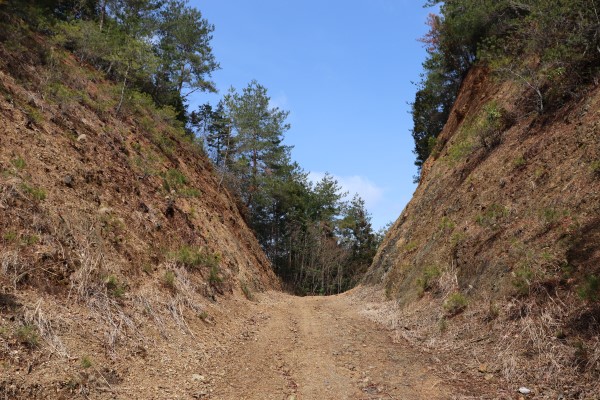
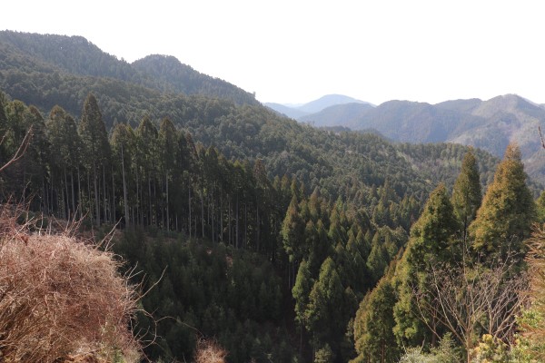
From here, you will climb up Mt. Kurooyama! It is only about 500m high, but make sure to keep checking your map as the trail here is sometimes bit hard to find around here.
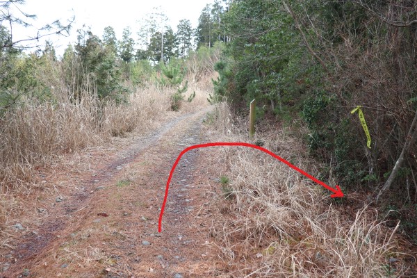
It gets a little hard to stay on the right trail around Sign Post 71. The reason things get so quite complicated is because there is a side route to Mt. Kurooyama and Shuzan Castle.
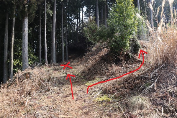
The official Kyoto Circuit Trail route has you turn right here and walk along the fence. It is worth mentioning that we could hear what sounded like gun shots around here. There is no shooting range nearby, so I guess people were hunting? It is fairly alarming to hear guns in Japan, after all.
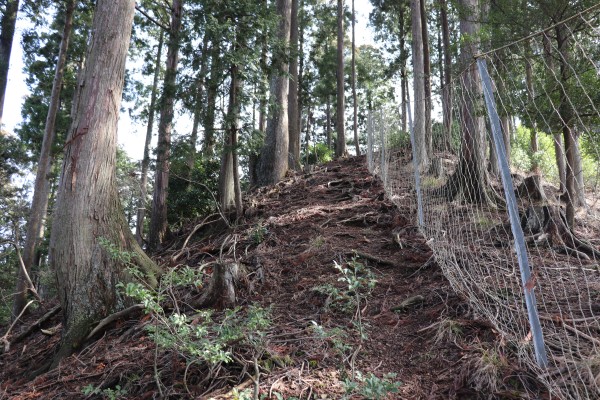
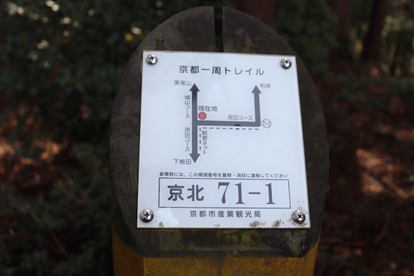
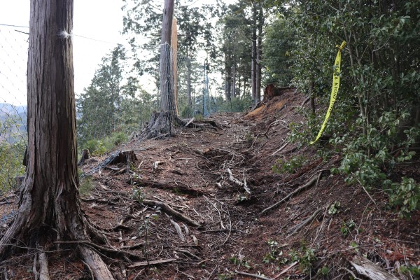
The official Kyoto Circuit Trail does not go to the top of Mt. Kurooyama, but when you reach Sign Post. No.71-1, there is a side route to the top of Mt. Kurooyama. While it is just a short detour, it is really steep!
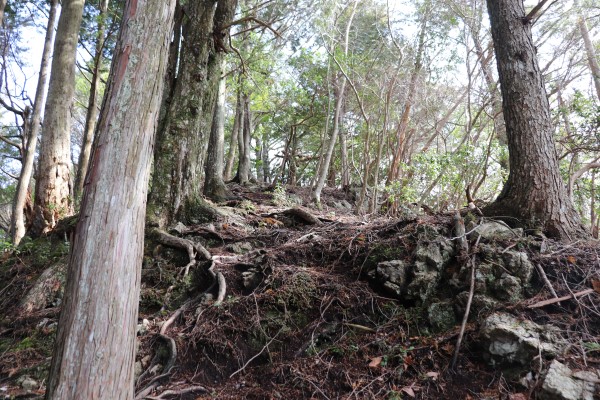
We chose to head up to the top of Mt. Kurooyama and then rejoin the main route after. The hike down Mt. Kurooyama is rather comfortable, especially compared to what it was like going to the top.
Kashihara – Hosono
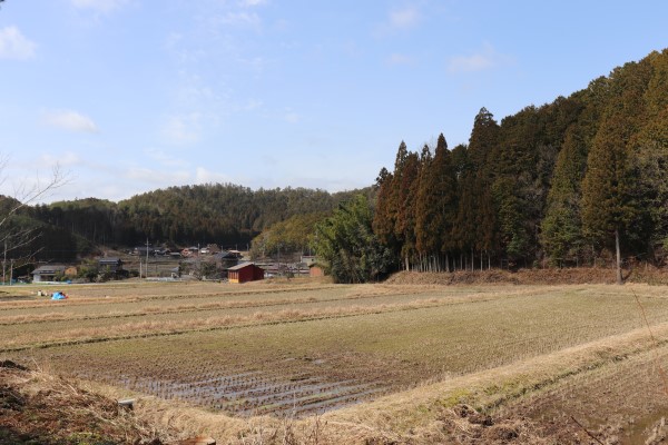
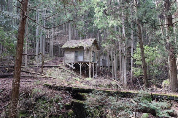
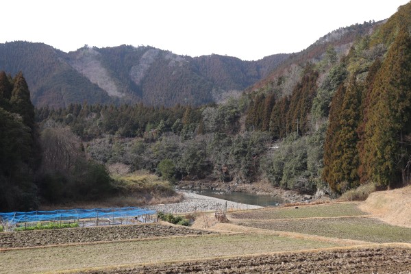
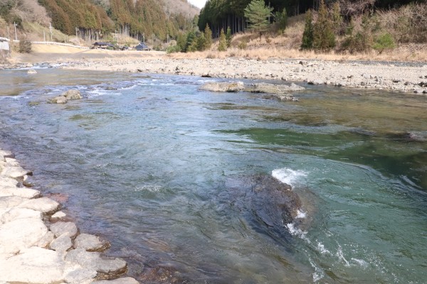
After you leave Mt. Kuroyama, you will be the pretty community called Kashihara. From here, the trail goes along Kamikatsura River. It is very pristine, beautiful river, and I imagine many people enjoy swimming here in the summer.
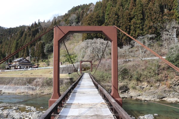
Just before the trail goes into the mountain, you cross the river via the Uogafuchi Suspension Bridge. The course is almost over!!
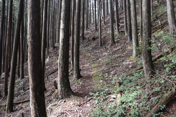
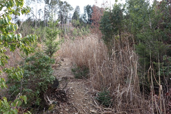
A while after the suspension bridge, the trail becomes overgrown, making it a bit hard to follow. However, there are no other side trails here, so just keep walking.
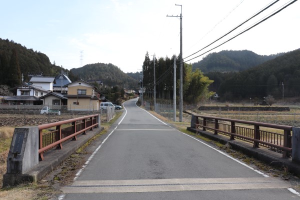
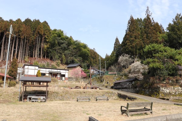
Finally, we are in Hosono, right where we started Keihoku Course! We’ve come full circle and completed the trail. In Hosono, you can take a bus from the Hosonoguchi bus stop to either central Kyoto City or Shuzan.
All in all, it took 6 hours to complete the trail. It took a long time, but it was definitely fun and probably one of the most beautiful hiking trails in the Kansai region!


Leave a Reply