Yoko-Oji: The Ancient Road in Nara
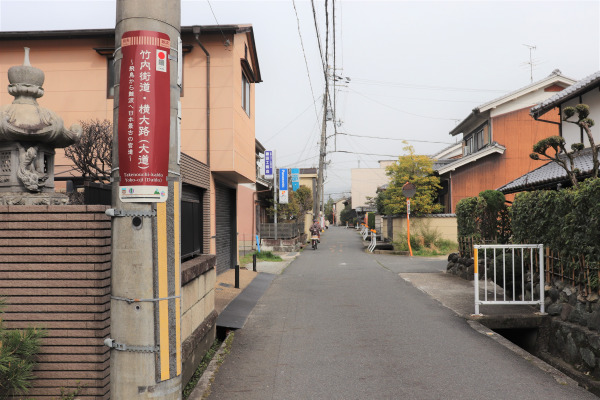
While Japan’s most ancient road, the Takenouchi, ends in Nagao Shrine, this shrine is the beginning of another ancient road, the Yoko-Oji. Though Yoko Oji does look like just an ordinary road, there are many historic spots along the road. In ancient times, many ambassadors from Korea and China used the Yoko-Oji to visit the capital, Nara. Later, the Japanese people used it together with the Ise Hon-Kaido to journey to Ise Jingu.
Yoko-Oji
Nagao Shrine – Takada
The starting point of Yoko-Oji is at Nagao Shrine. Nagao Shrine is only a few minutes away from the Kintetsu Shakudo Station (via the Osaka Line). From Nagao Shrine, all you need to go is just straight. And when I say “Go straight” I mean you’re going to go straight for hours.
Since this road existed long before many other cities were built, this road did not have to wind around/through any city structures, meaning it’s pretty direct! As a bonus, since the Yoko-Oji is largely a straight shot, it is unlikely you will get lost.
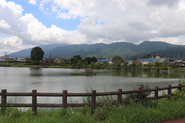
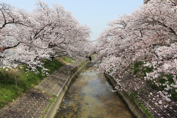
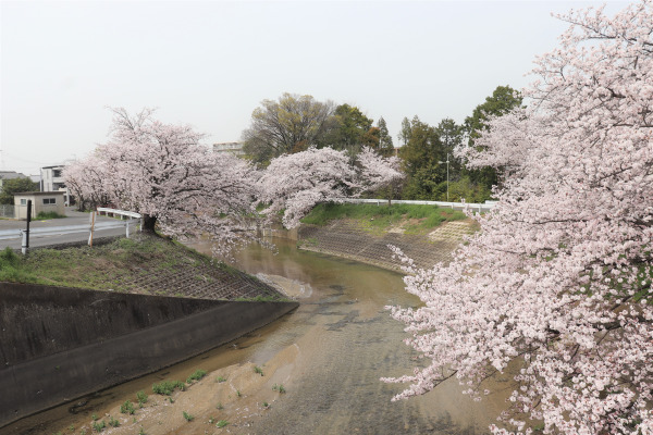
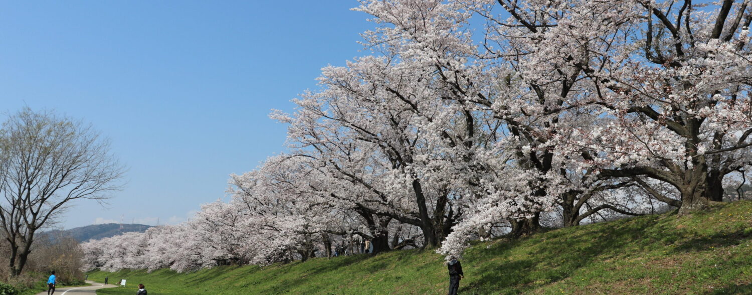
Just after only walking for about 30 minutes or so, we arrived at Onaka Park. Onaka Park is famous for cherry blossoms in the spring. The part is also known as Takada Senbonzakura since here, there are a thousand cherry blossoms on either side of Takada River for more than 2 kilometers. It is such a really pretty place!
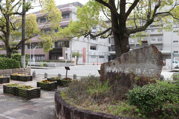
Yoko-Oji Histoci Spot: Takada City
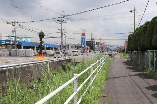
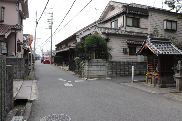
From Onaka Park, the road becomes quite narrow like other old roads in Japan. However, this is still a national road, which means there is quite a lot of traffic even though this is one way. There are so many small roads like this in Nara…
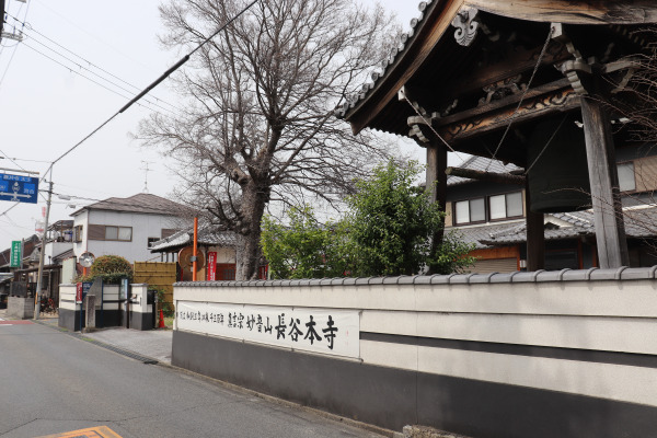
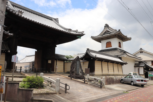
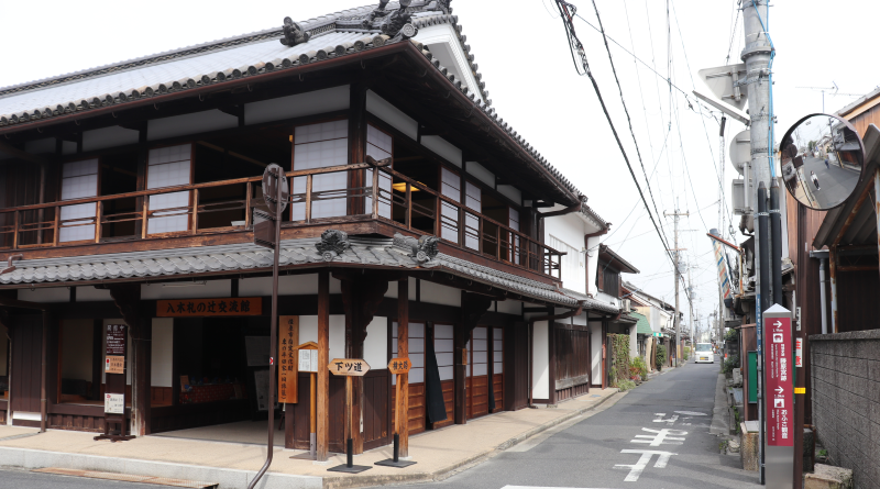
A few minutes away from Hase Hon-dera is a small historic district in Takada. Takada is originally a temple town centered by Senryu-ji built in the early 17th century and later prospered at a merchant city.
Takada – Kashihara
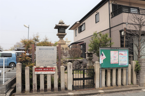
After going straight and passes Ise lantern on the side road, it is the Katsuragi River. This was the only place during our whole 15km hike where we had to turn twice to cross the river. After crossing the river, the Yoko-ji becomes straight again.
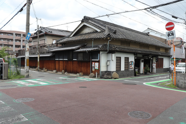
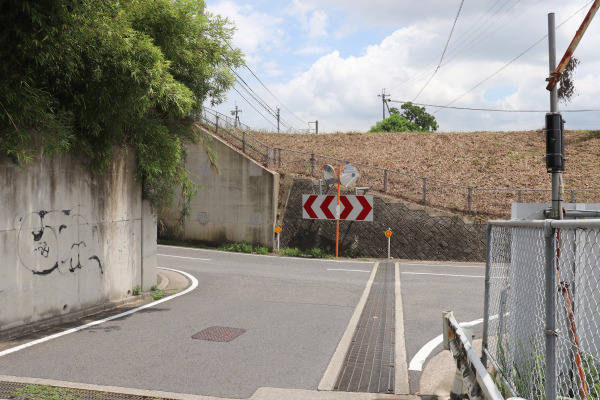
The Katsuragi River is the border between Takada City and Kashihara City. Kashihara City is one of the biggest cities in Nara Prefecture, so as we got closer to the center of the city, there were many newly built houses. Even so, among those houses, were the occasional historic landmarks or items. Namely, old stone lanterns that were used hundreds of years ago to guide people on the Ise Pilgrimage. There were also several historic shrines and temples such as Iruka Shrine and Ofusa Kannon Temple. And, just before Yamatoyagi Station, you can see one of Yamato Sanzan mountains, Mt. Unebi; a mountain beloved by the people of Nara since ancient times.
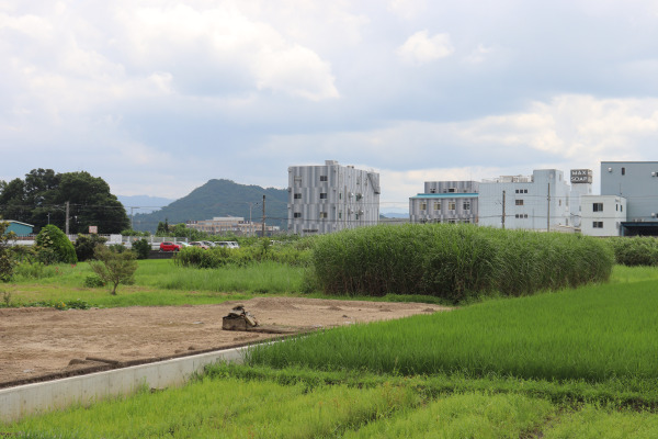
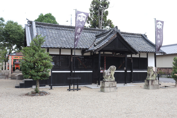
Yoko-Oji Historic Spot: Kashihara City
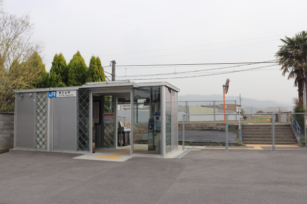
The central area of Kashihara City is the Kintetsu Yamato-Yagi Station. While there are many things around Yamatoyagi Station, the nearby JR station, Unebi Station, is quite small. I guess this is the case with many stations in Nara. The Kintetsu Railway pretty much dominates Nara Prefecture, with more popular and convenient stations typically being close to those rail lines.
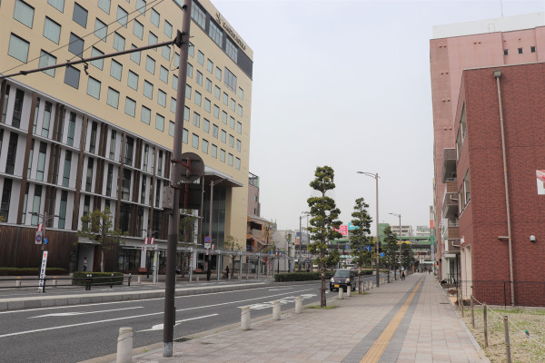
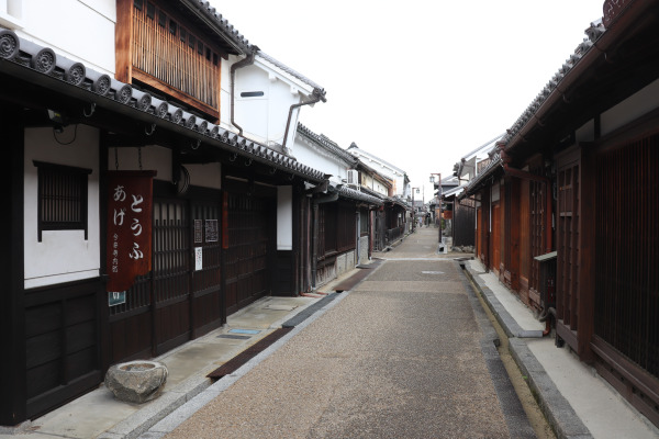
A 20-minute walk from Kashihara Station is a historic district, Imaicho. There are quite a lot of Japanese traditional houses here. I am quite sure this is one of the biggest historic districts in the Kansai region. It is a bit far away from the Yoko-Oji so if are interested in you should drop by. But don’t worry, it’s not going anywhere so you can always come back later!
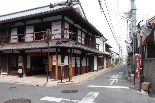
Past Kashihara Station is the Fudanotsuji Intersection, which runs into the Shimotsu-michi. In ancient times, there were three roads that connected Nara from north to south: the Shimotsu-michi, the Nakatsu-michi, and the Kamitsu-michi. The Yoko-Oji ends at the Kamitsu-michi Intersection in Sakurai City.
Kashihara – Sakurai
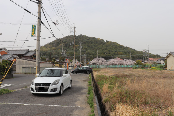
After going through Kashihara, the Yoko-Oji goes back to the countryside again. Along the way, you can see the other two mountains of the Yamato Sanzan. Mt. Miminashi is on the left, and then Mt. Kaguyama is on the right. Shortly after you see these mountains, you enter Sakurai City. Sakurai City is a place famous for its ancient ruins, but sadly there aren’t any special ruins along the Yoko-Oji. Of course, you can take a detour if you wish, but it is also nice to just have a quiet walk too.
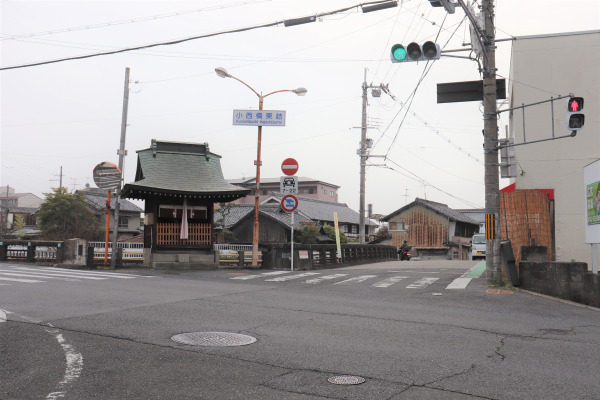
Just before Sakurai Station is the Konishibashi Higashizume Intersection. At this point, the original Yoko-Oji road ends here. However, the Yoko-Oji was later used as part of the path for the sacred pilgrimage for Ise Jingu Shrine, and the road was expanded so that it would merge with other famous trails leading to Ise.
The End of the Yoko-Oji: Historic Sakurai City
Sakurai is a very historic town, but around Sakurai Station, there were not so many things. From Sakurai Station, just go through the main shopping street. You will be at the end of the Yoko-Oji in another half an hour!
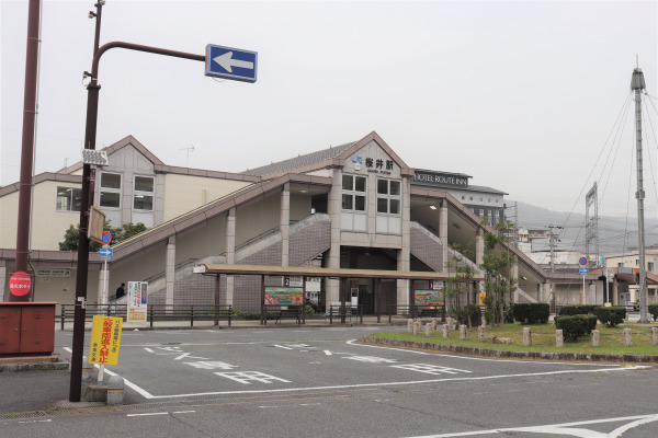
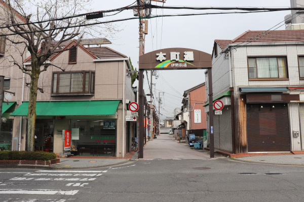
So, finally, we arrived at the end of the Yoko-Oji. It is a block away from the Jion-ji Kita Intersection on National Route 165. However, in ancient times, this intersection was called the “Jion-ji Oiwake” and the term “oiwake” typically indicates the junction of important roads. At this point, the Yoko-Oji merges with the Kamitsu-michi, better known as the Kami Kaido or Ise Hon Kaido. From here, the Hon Kaido leads all the way to Ise!
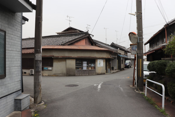
Yoko-Oji was only a 15km road, but there were plenty of historic things along the way! I guess it is really fun to walk the ancient road to learn about Nara’s history!
Leave a Reply