Nishiyama Course: Hiking the Kyoto Circuit Trail
The last leg of the Kyoto Circuit Trail is the Nishiyama Course. While a little bit shorter (10kn in total) than the other courses, this trail is beautiful trail that takes you through forests, rocky gorges, pristine rivers and even some surprising historic landmarks and traditional houses! Though it is short, it has a lot to offer!
As with our other entries about the Kyoto Circuit Trail, it is advisable that you have a physical map on hand with you, in addition to any GPS service that is convenient for you.
Note: See here for the other entries of our Kyoto Isshu Trail (Kyoto Circuit Trail) series.
Nishiyama Course
Nishiyama Course: Kiyotaki – Rokucho-toge Pass
The course starts at Kiyotaki near the foot of Mt. Atago— one of the most popular mountains in Kyoto. We went to Mt. Atago in last winter. It was nice but a lot of stairs…Here, trail goes along Kiyotaki River.
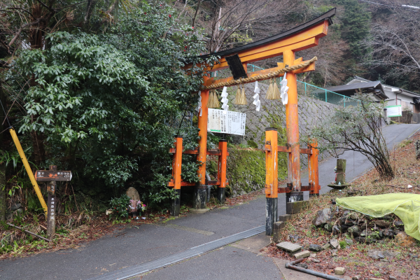
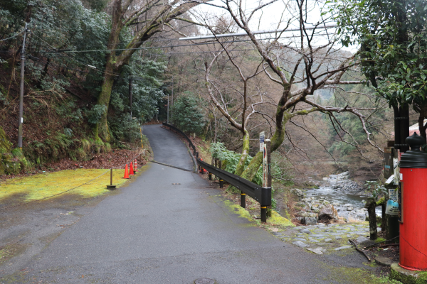
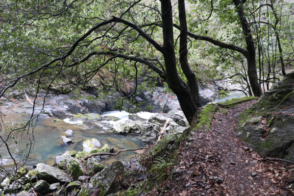
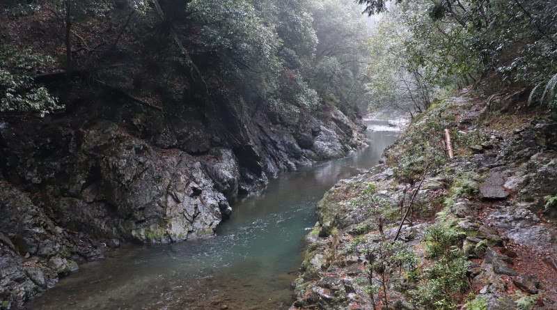
The gentle rushing of the Kiyotaki River sets the tone for this hike well. One of the most refreshing feeling after all is to hike alongside beautiful rivers, such as these. The river cuts through the Kanasuzu Gorge and in the fall, the foliage is a sight to behold as all the red leaves contrast the dark rocky gorge.
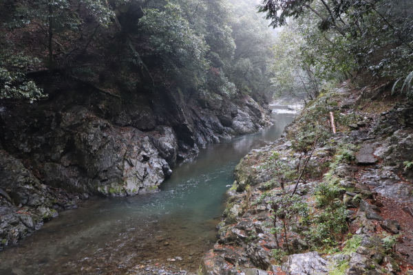
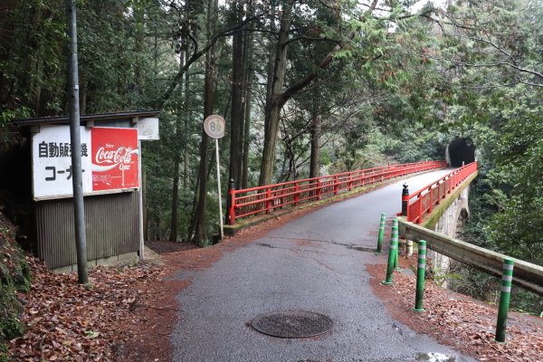
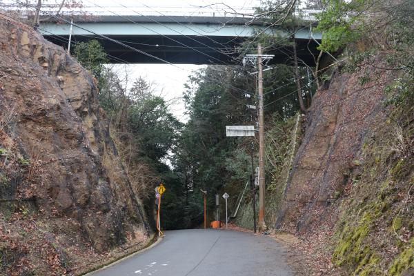
As we came near the JR Hozukyo Station, the trail led us away from the river and took us up a paved road. The road then goes through the Rokucho-toge Pass. The road is a bit complicated here; make sure to check your map carefully!
Nishiyama Course: Rokucho-toge Pass – Arashiyama
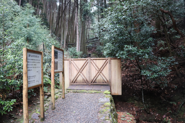
After the Rokucho-toge Pass, the trail goes down in the woods. Surprisingly, here is in this deep forest the grave of Emperor Saga’s wife, Tachibana no Kachiko. Tachibana no Kachiko was a very devoted Buddhist. Upon her death she aimed to emphasize the Buddhist principle of shogyo mujo, which means that nothing remains the same forever. In short, things are born, they live, they die, and then move on to another life. Instead of an elaborate tomb or having her body cremated, she instead choose to have her body placed in the woods where it would be exposed to the elements and decay in the open air.
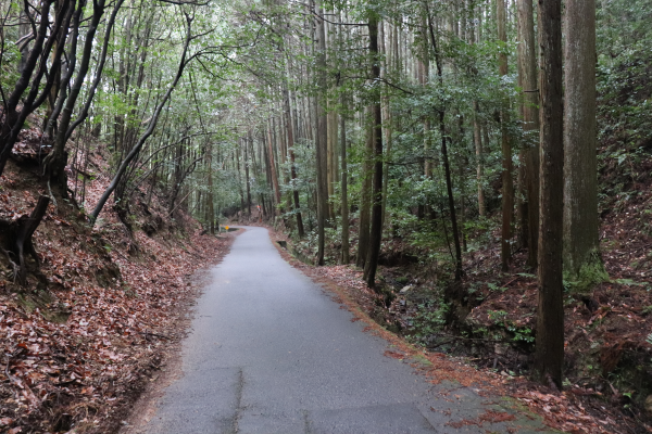
As we left the forest, we reached Sagatoriimoto. Sagatoriimoto is the historic shrine town of Atago Shrine. The area consists of two parts: traditional farmer’s houses with thatched roof and houses with tiled roofs. It is very unique that those two different kinds of houses in one area.
It is also interesting to know that long ago there were only a few places in Kyoto where the dead could be buried. Sagatoriimoto, known then as Adashino, was one of those few places. Adashino Nenbutsu-ji, the temple located at the center of the town, played a crucial role in how the dead of Kyoto were given their last rights and ultimately became a symbol of the town.
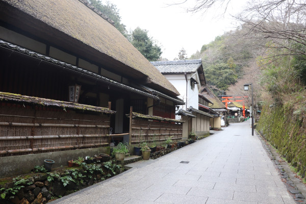
A short walk from Sagatoriimoto brought us back to the center of Arashiyma. Along the trail there are many famous temples, such as Gio-ji Temple, Jojyakko-ji Temple, and Jisonin Temple. These temples are all very historically and culturally important temples.
Unfortunately, we didn’t have time to visit them as we planed to visit several other places after this hike. If you find your favorite temple, be sure to make note of the ones you fancy making a trip back to see another day!
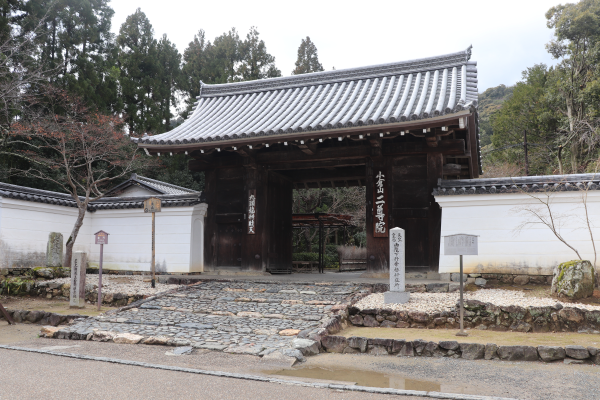
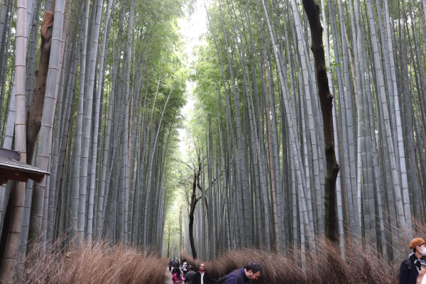
The Nishiyama Course then goes to Hankyu Arashiyama Station via Arashiyama Park. This way, you will not go thorough the famous bamboo forest in Arashiyama. However, it is possible to go to Arashiyama station through the forest, so if you want, you can pass through Kyoto’s very famous bamboo forest, instead of Arashiyama Park.
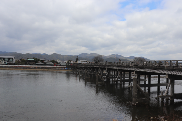
Nishiyama Course: Arashiyama to Kami-katsura Station
The next landmark we crossed on our hike was Mt. Matsuoyama. The trail to Mt. Matsuoyama is only a few minutes from the station, but the path to the mountain is a bit hard to find as it is a quite small, narrow path.
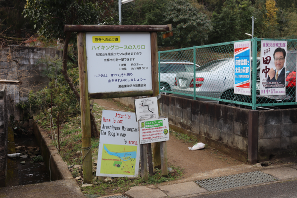
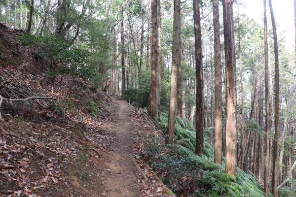
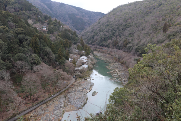
Within an hour,we reached the top of Mt. Matsuoyama. It is only 275m high but we could see the entire Arashiyama from there.
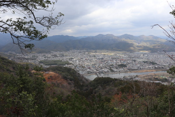
Although Mt Matsuoyama is not very tall, it is wide. After passing the summit, the path will meander up and down for a while. I guess this mountain is called Mt. Matsuoyama because Matsunoo Shrine is located on the foot of the mountain. The shrine is famous for sake brewing, and there is a sacred rock of Matsunoo Shrine somewhere on the mountain, but we couldn’t find it. Maybe it is not accessible from the summit of Mt. Matsuoyama? We visited Matsunoo Shrine after the trail but we were sad to see that the path to Matsunoo Shrine is currently blocked.
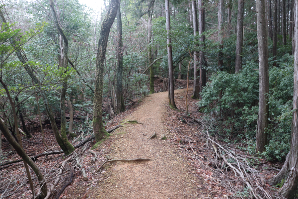
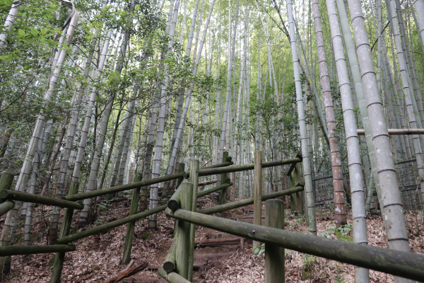
Once you’re out of Mt. Matsuoyama, all you have to do is to follow the main road. Around here we could find many famous temples like Suzumushi-dera, which is famous for bell crickets, suzumushi and Koke-dera with its famous moss gardens. The gardens are very beautiful, but entry to Koke-dera requires reservations in advance.
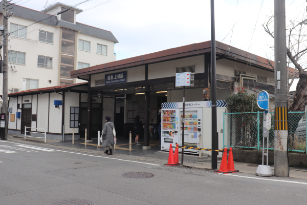
In 15 minutes from there, the trail finally reaches the final destination, Kami-katsura Station! So this is the end of Kyoto Circuit Trail. It was very far from Fushimi Inari Shrine, but definitely it was fun walk!
Leave a Reply