Kurokomichi Trail: The Pilgrimage to Mt. Koya
Mount Koya (or more often “Koyasan) is one of the most important religious sites in Japan. While there are many different ancient trails to get there, the most famous, is the Kurokomichi Trail.
Not only did Toyotomi Hideyoshi use this trail, but throughout the centuries, thousands used the Kurokomichi Trail to reach Koya-san. The trail became a World Heritage in 2016.
Kurokomichi Trail
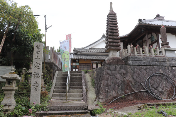
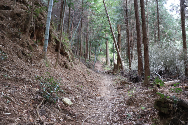
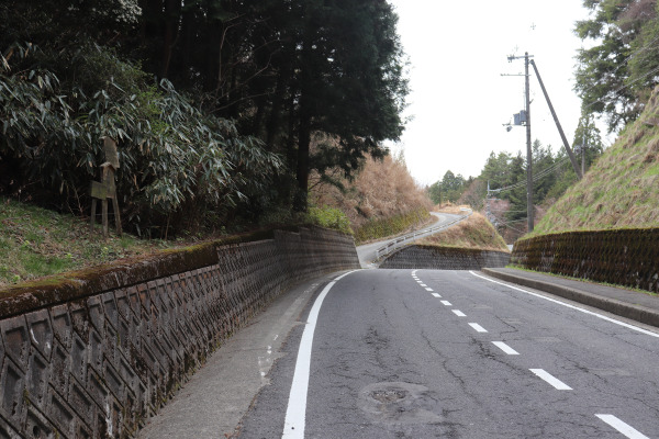
Kurokomichi Trail starts from Jofukuji Temple in Hashimoto. The total length of the trial is 18km through the mountain trail to Koyasan. All in all, it will take 7-8 hours to get to Koyasan. Compared to the Choishimichi Trail, which is probably the most famous trail to Koyasan, the Kurokomichi meanders a lot more.
As the starting point is close to Hashimoto Station, I strongly recommend loading up on snacks and drinks before you go. There are no vending machines near the station– never mind you will be in a convenience store desert.
Jofukuji Temple – Mjyojingatawa -Ichitairabashi
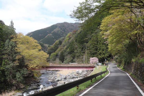
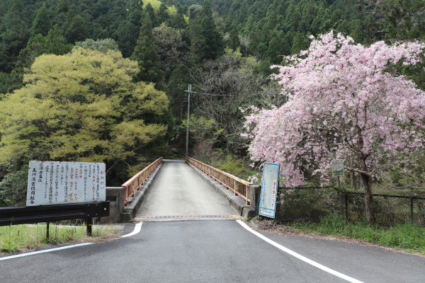
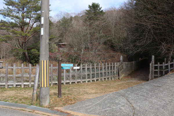
Hashimoto Station is almost an hour away from Nankai Namba Station. From the station, Jofukuji Temple is only 20 minutes along the Kinokawa River.
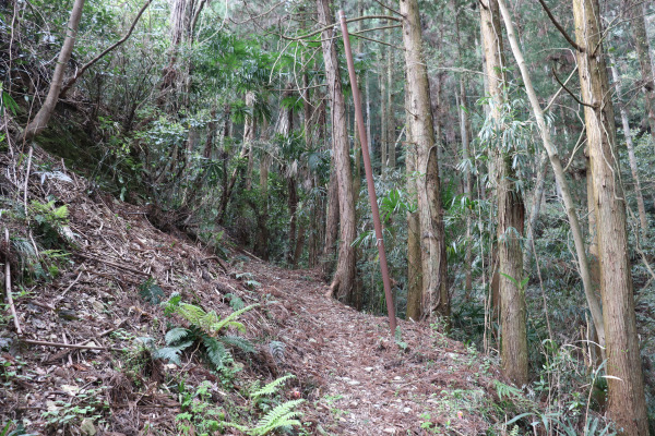
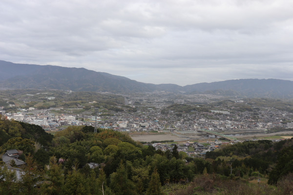
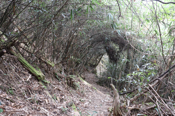
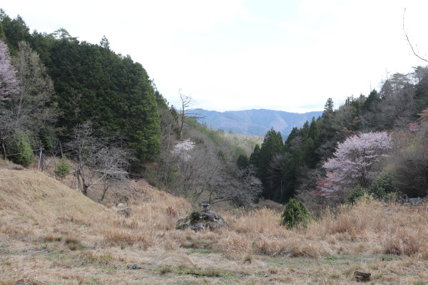
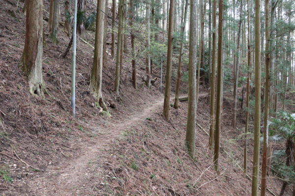
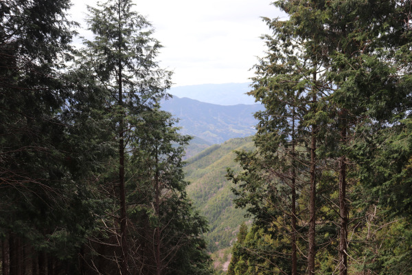
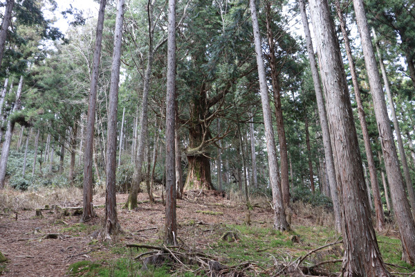
From Jofukuji Temple, Kurokomichi begins. The trail begins as a mountain trail, but it soon cuts through a little community. Here, you can get a panoramic view of the Kisen Alps, the mountain chain standing between Osaka and Wakayama.
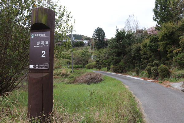
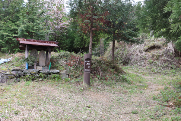
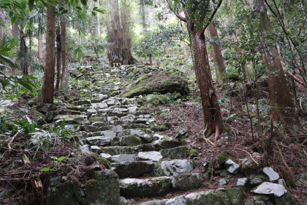
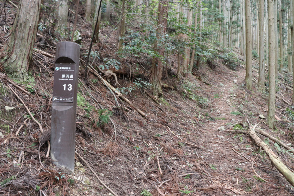
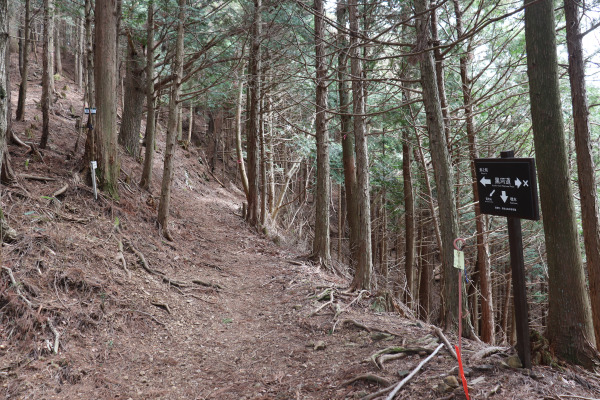
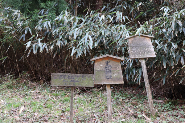
There are signposts every 500m so you should be able to stay the course. Signs numbered 1 through 26 will take you to the Kotsugi Pass. After that, the Kurokomichi Trail merges with a different trail and continues another 5km.
The long mountain trail goes up to Myojingatawa for about 450m. At first, you might think to yourself “Well, maybe the first part is bad, but it will smooth out soon.”
But let me tell you, that is not the case here.
Once you at last reach Myojingatawa, the trail starts to descend. This is the hardest part of the Kurokomichi Trail, but thankfully now it is over.
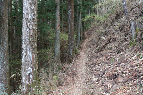
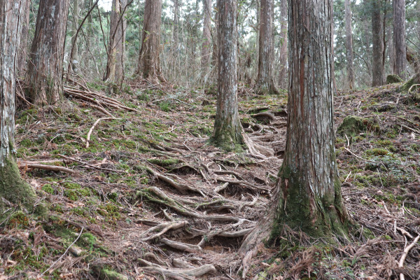
Perhaps, one of the best things about hiking this trail is that it is easy to follow, even though it often intersects several other trails. You just have to find the markers for the Kurokomichi when you do not know which way to go.
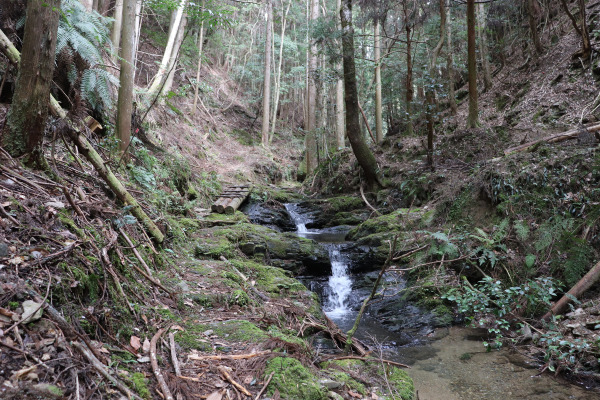
On the way down from Myojingatawa is Ichitairabshi. Here you will find the Niugawa River. If you walk along this river, you can get to Koyashita Station (but it is more than 10km from here…)
Ichitaira Bashi – Kubo Elementary School – Kotsugi Pass
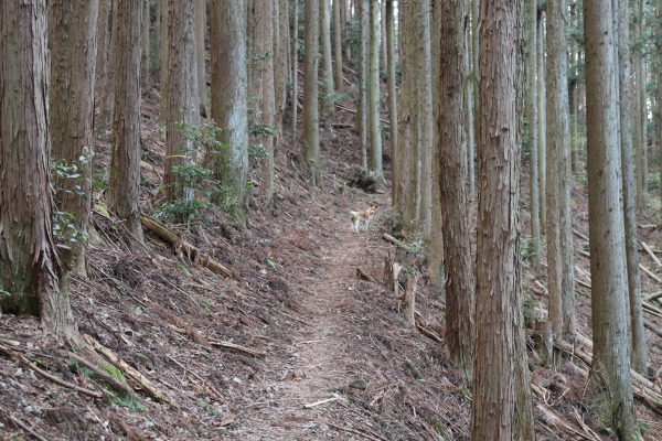
From Ichitairabashi, once again the trail starts to climb up. At first, it is nothing but a paved road but soon it turns into a mountain path to Kubo Elementary School.
On the way, we had a minor accident: a couple of unleashed dogs. The dogs came to us and were very friendly. Because of their good nature, I imagine they must belong to somebody.
I found great humor in this encounter as I remembered the story of how when Kukai, the founder of the temple in Koyasan, was wandering these very mountains, the god of Koya turned himself into two dogs and led him safely to Koyasan.
Kudoyama Mori no Dowakan, formerly Kubo Elementary School, is a little library in the middle of the forest. However, it is only open during weekends.
At this point, we start another steep hike up. The trail forks here: one goes through the Kuroko Pass and one goes through Taikozaka. The Kurokomichi goes towards Taikozaka and then up to the Kotsugi Pass.
Once we cleared signpost 25 the trail at last began to even out.
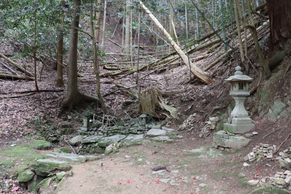
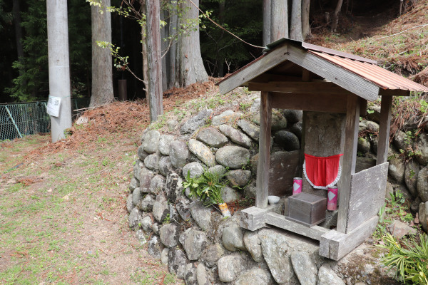
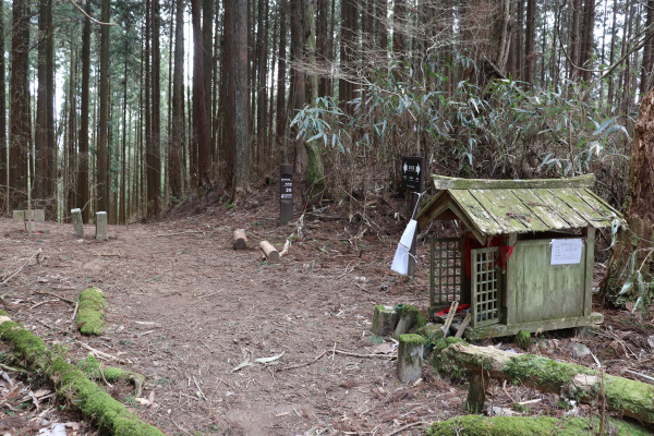
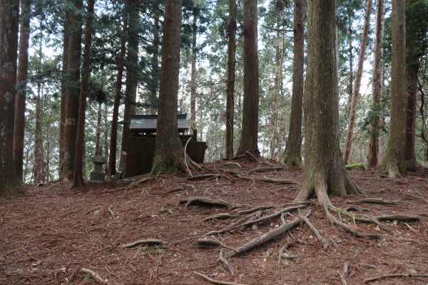
At last, we reached the Kotsugi Pass, meaning we are nearing the last leg of the trail. On the pass is the little jizo called Kotsugi Jizo with an inscription dating back to the Muromachi Period. Just goes to show how old the Kurokomichi Trail is…
Shortly after meeting the jizo, we reached the very last signpost, number 26. From here, the Kurokomichi Trail merges with the Koya Sanzan Trail and goes straight to Koyasan.
Kotsugi Pass – Mt. Tenjiku
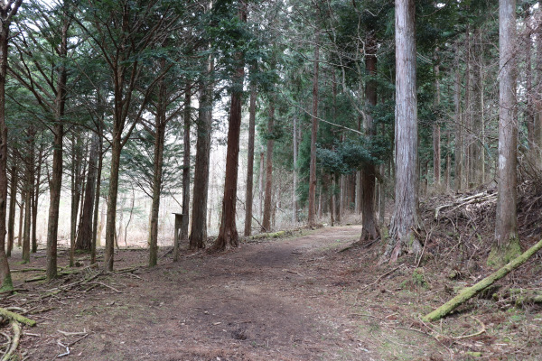
After the Kotsugi Pass, the trail was much smoother. While nobody was walking on the Kurokomichi Trail itself, several people were enjoying hiking in the surrounding forest.
In this section of the trail, you will find additional signposts that number 35 – 52, but are not necessarily 500m apart anymore.
Maybe the toughest part is around the top of Mt. Tenjiku. Mt. Tenjiku is a 915m high mountain, but since we were already about 9oom up, it wasn’t very long at all.
Korokomichi Trail Final Stretch: Kurokoguchi
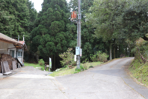
After Koyasan Forest Park, the trail goes through a small neighborhood near Nakanohashi Reien and then heads toward the main area of Koyasan.
Right before the city hall of Koya Town is the bus stop for Uguisudani. Around here is Kurokoguchi, the end of the official end of the Kurokomichi. Once here stood one of the gates to the sacred site of Koyasan. Women were also no longer permitted to go any further past this gate.
Now there is only a sign that indicates that the Kurokoguchi existed.
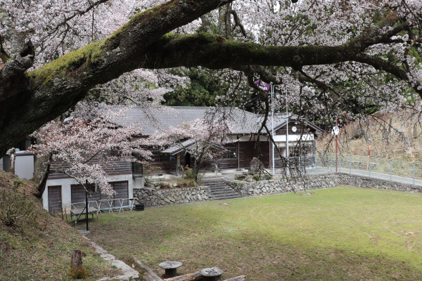
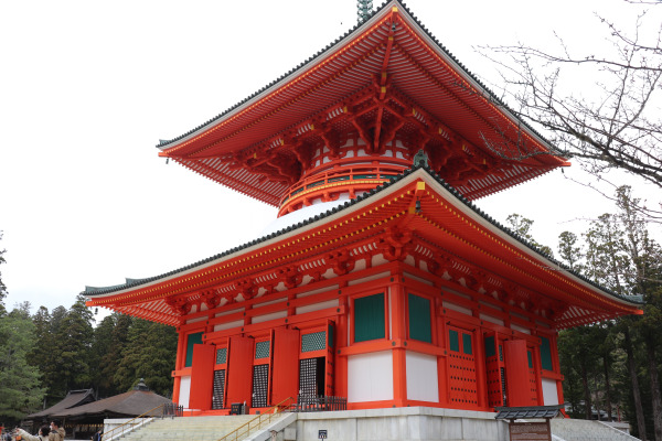
Now, it is only a few minutes walk to the Danjo Garan, the main temple of Koyasan.
It was a long 18km walk from Hashimoto. It almost took 8 hours without any break.
We walked several trails to Koyasan including the Choishimichi and the Kyo-Osaka-michi so far, but both of them were quite nice, easy hikes. But if was a more vigorous hike, take the Kurokomichi Trail!
Information: Kurokomichi
| Address |
|
| Website |
|
| Getting To |
Hashimoto: The trail head, Jofukuji Temple, is 20 minutes away from Hashimoto Station Nankai Koya Line. It takes 60 minutes from Namba. |
| Hours |
N/A
|
| Price Range |
Free
|
| Note |
Make sure to bring a bear bell when you walk on Kurokomichi Trail!! Also, there are no bathrooms on this trail! |


Leave a Reply