Ise Honkaido 3: Minami Ikoma to Nara
After passing through the Ikoma Mountain Chain, we finally entered Nara Prefecture and walked to the Kintestsu Minami Ikoma Station. This time, we walked from Minami Ikoma Station to Kofuku-ji in the center of Nara City. On the way, the Ise Honkaido crosses several small mountains chains. From Minami Ikoma Station, it is roughly only 15km to Kofuku-ji in the central area of Nara City!
See here for the other entries of our Ise Honkaido series.
The Ise Honkaido 3: Minami Ikoma to Nara
Minami Ikoma Station – Yata Forest
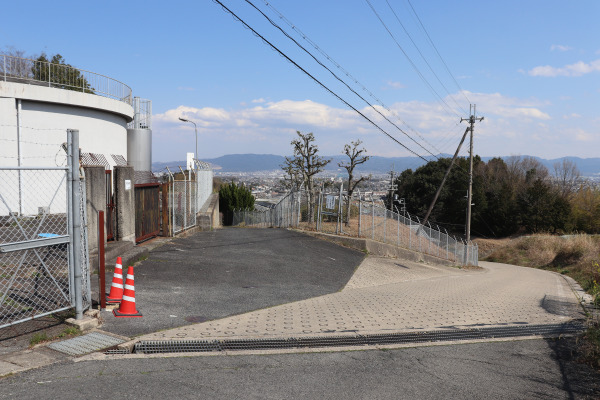
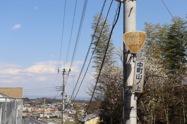
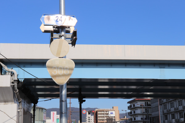
From Minami Ikoma Station, the Ise Honkaido starts right next to the station by gradually climbing up the slope. The trail coincides with National Route 308 almost until Nara station but it is a really small national road that one car barely passes through. Additionally, we continued to experience a persistent annoying pattern throughout this journey– there are no boards or signs to indicate whether you are still on the Ise Honkaido or National Route 308. In short, the use of our maps was extremely important!
Also, bear in mind that despite this area only being just four hours away from Nara City, there is no public transportation near the trail until near the end.
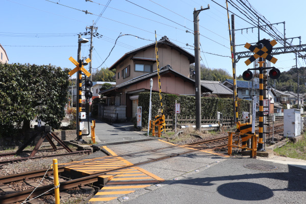
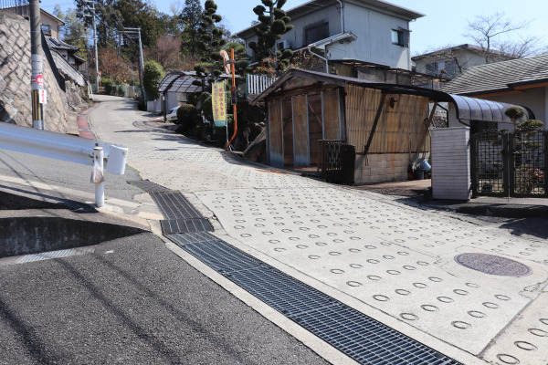
After a while, the trail starts to go up a small mountain chain called the Yata Highlands. It is only 270m high to the top, so it is not tough a hike up this little hill (especially when compared with our previous endeavor on the Kuragari Pass). The Yata Highlands house several famous temples such as Horyu-ji and Yata-dera, best known for beautiful hydrangea. Unfortunately, all those temples are a bit far away from Ise Honkaido, so you will need to plan a separate trip(s) if you want to visit those temples.
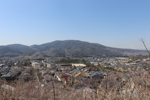
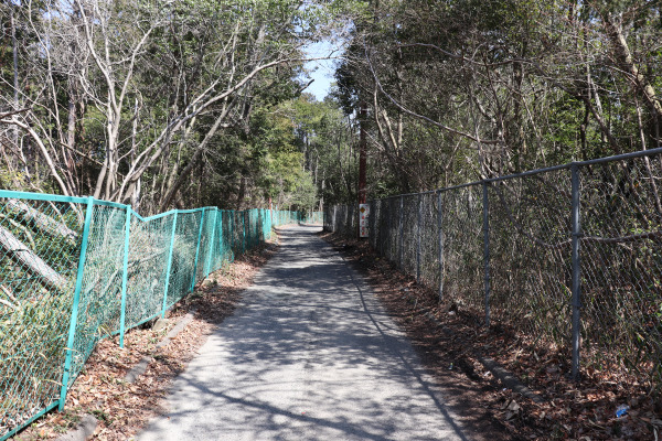
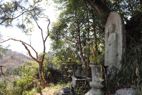
From Muronoki Pass, the Ise Honkaido descends into the Nara Basin, heading towards the center of Nara City. The great news is that there is no steep climb for another 40-50km! as Ise Honkaido goes from north to south in Nara Basin.
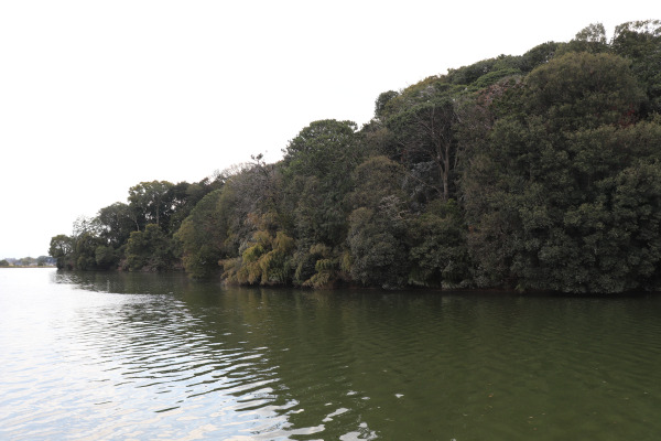
After 30 minutes from Muronoki Pass is Yata Forest Park. There is a famous nature trail that goes from the park and across the Yata Highlands to Horyu-ji. The trail is a total of 15km and I heard that it is a really good mountain biking course.
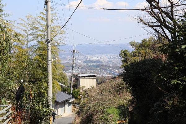
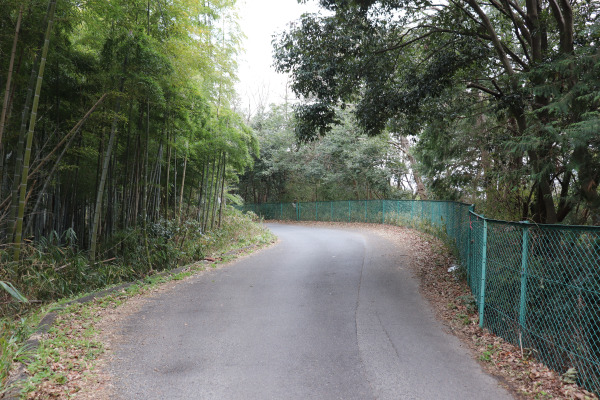
Yata Forest – Kofuku-ji
From Yata Forest Park, the Ise Honkaido continues along National Route 308. The road was very small and narrow with almost no traffic almost at all. We nearly got lost at several intersections which were additionally small and it was really hard to follow.
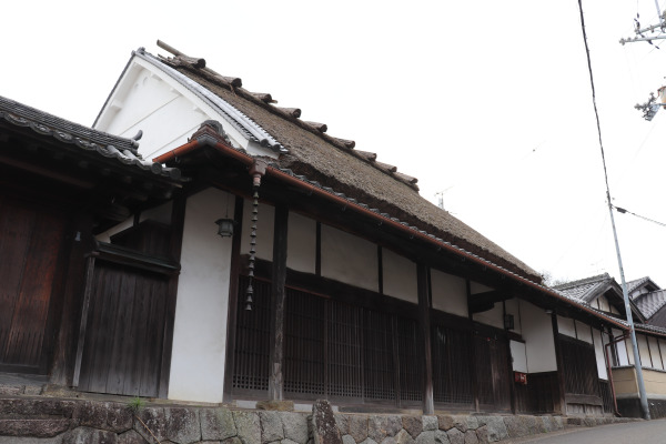
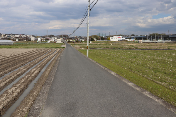
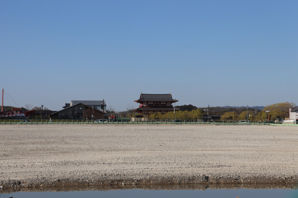
After walking an hour, we came down from the mountain and entered some neighborhoods. After the Kintestsu Amagatsuji Station, all you have to do is keep going straight. The National Route 308 becomes much wider with more traffic after the station. Don’t miss Heijokyo Palace Site, which was the former capital palace from 710-784!
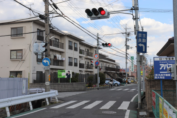
Nara City
In the city center, especially around Sanjo Street, there are so many things with many tourists walking around. If you leave early enough in the morning, you will be here around lunchtime, so our recommendation is to get Kakinoha sushi in Sanjo Street and eat at Nara Park.
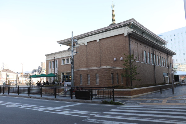
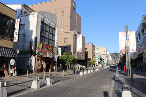
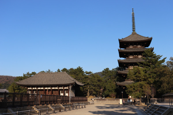
And so we reached our goal for today; Kofuku-ji! All in all, we walked for four hours from Minami Ikoma Station. It is roughly 40km from Osaka City, which means it takes 2 days from Osaka on foot. Thankfully, we finally found public transportation, so it is only 30 minutes from Osaka by train. However, this trail is really making me appreciate how much time it indeed takes just walking from Point A to Point B. It’s almost mind-boggling that people in ancient times used to walk on this road frequently.
Ise Honkaido from here goes in the south through Tenri and Sakurai and then goes into the deep forest. Ise is still really far!
Leave a Reply