Walking Kumano Kodo Ohechi 1: Tanabe to Tonda
The historic Kumano Kodo Kiiji route once stretched from Osaka to Kii-Tanabe, where pilgrims would leave the coastal path behind and enter the Nakaheji route, winding through the deep mountains toward Kumano. Yet another path, the Ohechi route, offered a completely different journey. Following the coastline of the Kii Peninsula from Tanabe southward to Nachi, it led travelers through dramatic seaside landscapes and rugged natural scenery. Although Ohechi does not share the same ancient history as some of the other Kumano Kodo routes, its breathtaking coastal views make it a route unlike any other.
Ohechi 1: Tanabe to Tonda
Tanabe to Asso
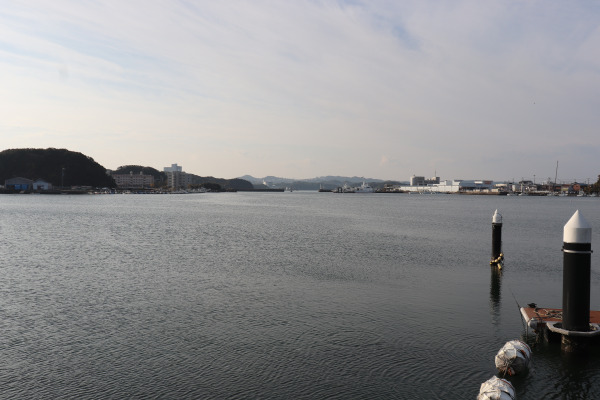
Today, we’ll be walking a 10-kilometer section of the Ohechi route from Tanabe to Kii-Tonda, one station beyond Shirahama. We usually cover around 20 kilometers a day, so this will be a relatively short walk. One thing to keep in mind is that south of Kii-Tanabe, local trains run only about once every two hours.
After leaving Kii-Tanabe Station, the Nakahechi route heads east toward the mountains. The Ohechi route, by contrast, follows Prefectural Route 31 southward and reaches Kii-Shinjo Station after about 30 minutes.
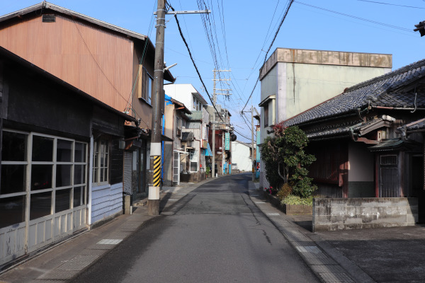
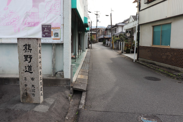
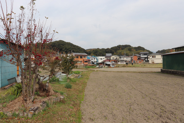
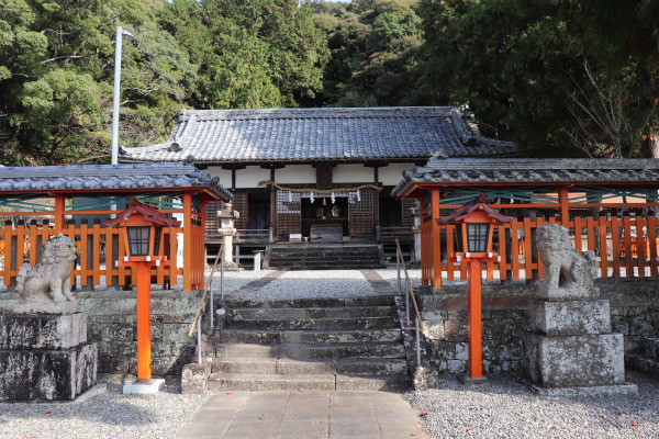
From there, the trail leaves the main road and winds through a residential neighborhood. The route can be a little difficult to follow at times, but small trail markers are posted along the way, so keep an eye out for them.
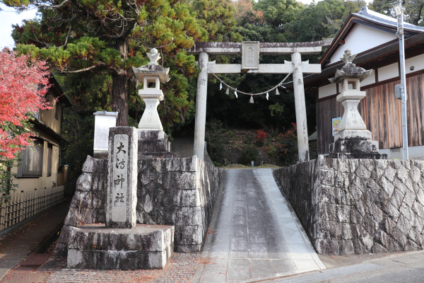
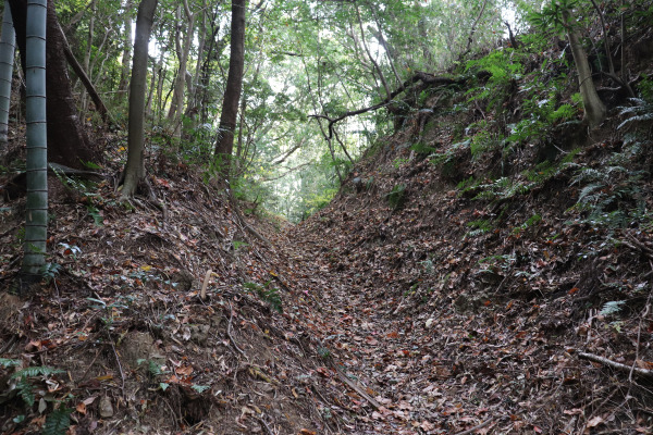
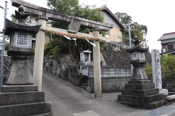
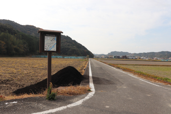
Beyond Ogata Shrine, the trail gradually narrows and begins to feel more secluded. Although the path splits in several places, clear signs along the way make it easy to follow. After walking through a quiet, slightly mountainous section, the route eventually opens up and leads to Asso.
Once you reach National Route 42, continue along the road. After crossing the railway tracks, you will arrive in Asso.
Asso to Tonda
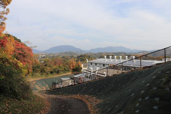
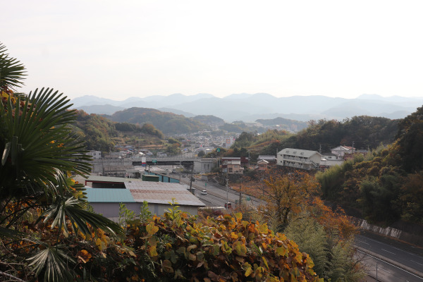
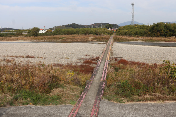
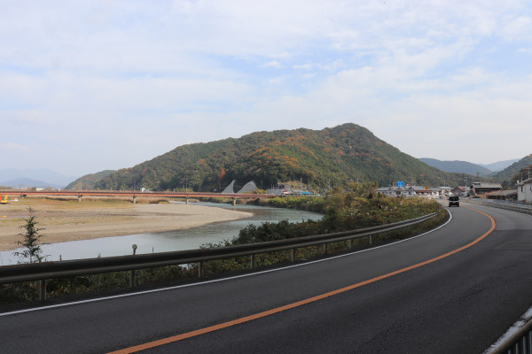
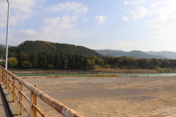
Leaving Asso behind, we make our way toward the Tonda River and follow its course southward. The quiet countryside landscape, with its open fields and calm surroundings, gives the walk a relaxing atmosphere.
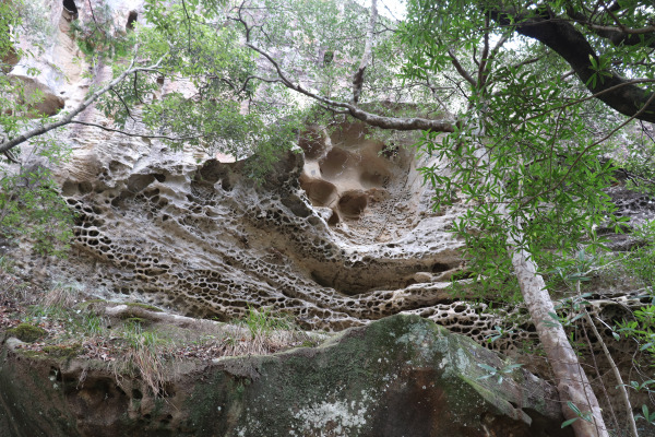
After a while, the trail moves away from the river and winds through rice fields. Along the route stands Horo no Mushikui-iwa, a distinctive rock formation marked by countless small holes. These holes are known as tafoni, and several theories have been proposed to explain how they were formed.
The Ōhechi route lies within the Kumano Nanki Geopark, where a variety of geological features can be seen. Walking the trail offers opportunities to encounter landscapes and rock formations that reflect the area’s long geological history, and Horo no Mushikui-iwa is one of the highlights along the way.
After passing the rock, the trail heads down toward the Tonda River. It is almost the end of today’s journey.
The Tonda River is known for a giant eel that has been designated a protected species, which is said to be 2 meters long. It sounds like a local legend, but the eel is not merely folklore; there are records suggesting that such an eel really does exist, although there have been few reports of sightings in recent years.
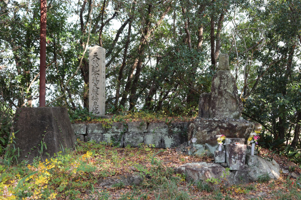
Since eels tend to live deep pool, it is unlikely to spot one simply by looking into the river. Along the riverbank, however, you can find kannon statues dedicated to eels, reflecting the respect and reverence they have long received from local people.
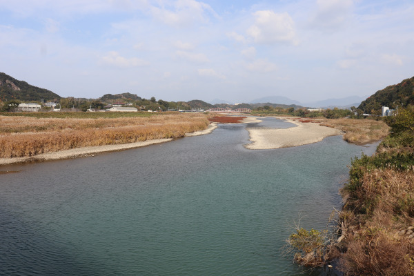
Continue along the Tonda River, passing a Lawson convenience store and Hi Shrine. After crossing the river, you’ll soon find yourself at Kii-Tonda Station.
There’s not much around Kii-Tonda Station- no convenience stores and few places to stop by. It’s a quiet rural station, and since it’s the next stop after Shirahama, limited express, Kuroshio, don’t stop here. Local trains are also infrequent, running only about once every two hours during the day.
Although we had only been walking for around three hours, we decided to end the day here.
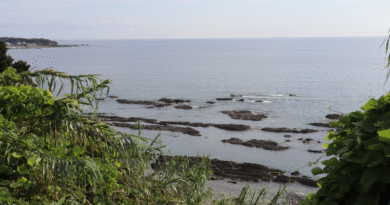
If you still have some energy left, you can walk back to Shirahama along the railway line in about an hour. Alternatively, Tonda-hama Beach is only about a 15-minute walk from the station. One of the best things I like about the Ohechi Trail is that, if you have some time before your train, you can spend it relaxing at the pristine beach.
Next up is Tomita-zaka, often considered the most challenging section of the Ohechi Trail.


Leave a Reply