Osaka Circuit Nature Trail: 300km Long Trail of Osaka
West of Osaka is Osaka bay, but mountains surround the prefecture on all its other side, namely in the north Hokusetsu Mountain Chain, in the east are the Ikoma and Kongo mountain chains, and to the south are the Kisen Alps. All those mountains are not very tall and take only a few hours to hike, but for the adventure seekers out there, there is a super long trail that takes you over all those mountains: the Osaka Circuit Nature Trail.
How To Walk Osaka Circuit Nature Trail
Osaka Circuit Nature Trail consists of several courses: the Hokusestu Nature Trail, the Ikoma Nature Trail, the Diamond Trail, and the Senshu Region Kinki Nature Trail. Though the trail occasionally omits some parts of those courses, it is basically one long trail linking the very northmost part of Osaka to the very southern tip of the prefecture.
For those who wish to walk this long trail, here are several tips from us:
1. Maps are free and available online
All maps of Osaka Circuit Nature Trails are available from here. Although some of the maps are old and there are slightly different, all maps in the mountains are mostly accurate, so you will not get lost.
2. Good for beginners
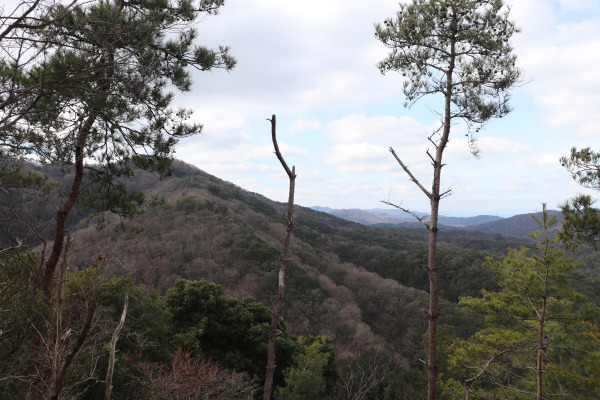
Osaka Circuit Nature Trail goes throw tens of mountains throughout Osaka, but most of them are relatively small (around 800m or so), so beginner hikers can walk on the trail without any problem. This also means you will not need super heavy gear, but it can be quite tough. Indeed, even though they are all small, you can see a magnificent view from the mountain top!
3. No convenience stores, vending machines, or bathrooms!
Except very occasionally in Diamond Trail and Ikoma Nature Trail, there are not so many bathrooms on the trail. Moreover, it is quite far away from the city center, there is no convenience store almost at all, so make sure to buy snacks before you head out!
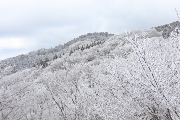
4. Beautiful in all seasons, but be careful in the snow!
Except for Hokusetsu Nature Trail, bears have seldom been spotted throughout the trail. So, it can be quite a nice hike even in warm seasons. However, there are killer bees and venomous snakes throughout the trails. Moreover, there can be snowy around Mt. Kongo and in Hokusetsu Nature Trail.

Osaka Circuit Nature Trail
Hokusetsu Nature Trail
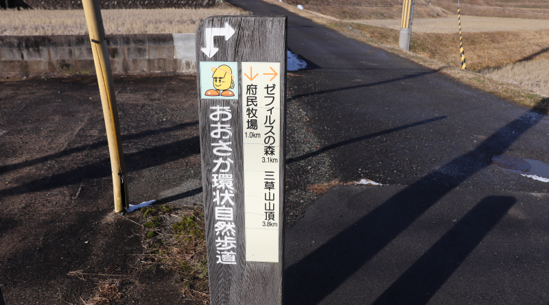
Osaka Prefectural Farm→Mt. Mikusa (564m)→Natani Rice Field Terrace →Mt. Gyojya→Mt. Kenbi(784m)→Shukuno→Mt. Utagaki (553m)→Hontaki-ji Temple→Mt. Myoken (660m)→ Mt. Tendai (640m) →Mt. Akegadao (619m)→Mt. Hachifuse(604m)→Minoo Visitor Center→Hokusetsu Cemetry→Mt. Ryuo (510m)→Hagitani General Park→Settsu Gorge→Kabusan-ji Temple→Honzan-ji Temple→Mt. Pompom (678m)→Mt. Shaka(631m)→Girobachi Pass→Wakayama Shrine→Minase Station
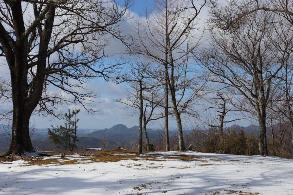
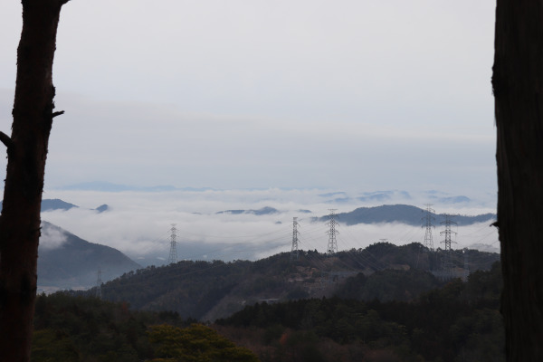
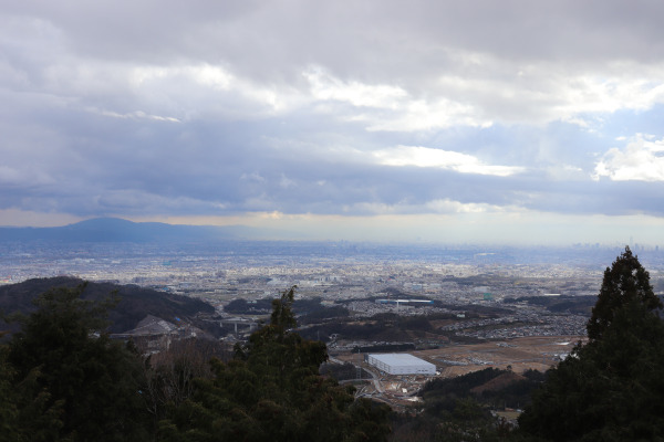
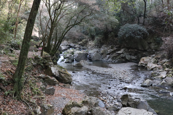
The Hokusetsu Nature Trail, which starts from Nose Town, crosses north Osaka from east to west. Taking this trail will bring you to many famous mountains, such as Mt. Kenbi and Mt. Pompom. The first half of the trail goes through idyllic Nose Town and traverses many mountains all the way to Minoo. The second half runs through the countryside of Ibaraki and Takatsuki City.
Ikoma Nature Traill
Route Description
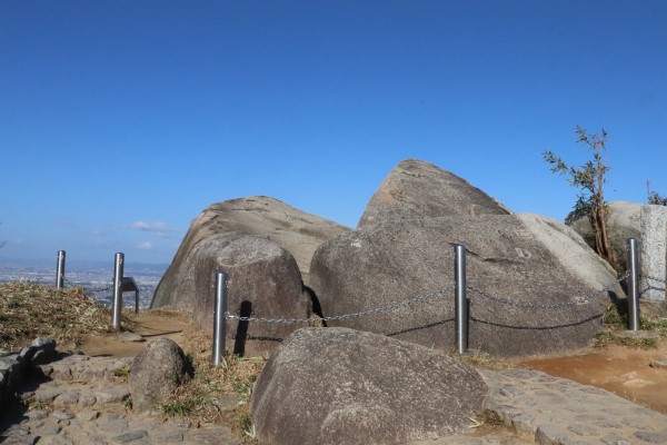
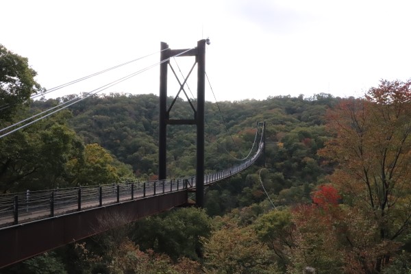
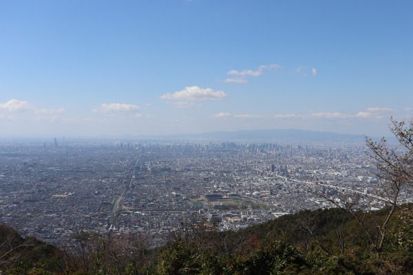
Ikoma Nature Trail is a 45km route that goes along the Ikoma Mountain Chain from north to south. On the way, it goes through 7 prefectural forest parks (all free), and the trail is very well maintained. The great aspect of this trail it’s not as hilly– its highest point, Mt.Ikoma, is only 642m high. Moreover, bus service is available near the top of the mountain, so if you plan well, you can avoid the steepest parts of the trail. That being said, there are many scenic points throughout the course like Mt. Kono and Bokura no Hiroba.
Diamond Trail
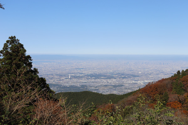
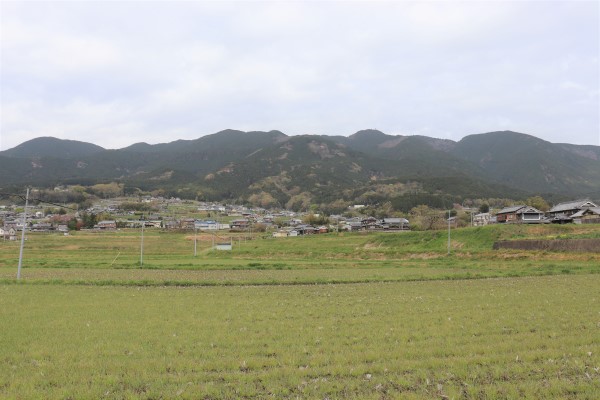
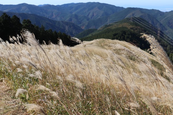
The Diamond Trail, the most famous trail in Osaka, is a 75km trail full of beautiful natural scenery ranging from the sliver grass fields of Mt. Iwawaki, the azaleas in Mt. Katsuragi to snow in Mt. Kongo. Though this is really nice trail, this trail has a reputation as quite strenuous with many steep slopes and endless stairs. Make sure to have enough stamina before you start this part of the Osaka Circuit!
Senshu Region Kinki Nature Trail
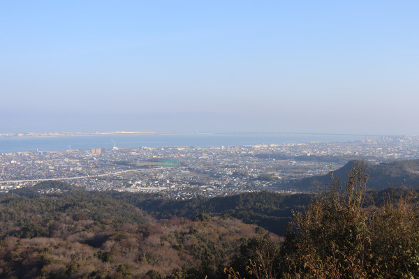
This course goes through the mountains of Kisen Apls that lie between Osaka and Wakayama prefectures. Along the way are several famous mountains such as Mt. Inunaki and Mt. Izumi-Katsuragi. Unlike other trails, not all parts of this course are incorporated in the Osaka Circuit Nature Trail meaning they are not well maintained. These facts make parts of this trail a little hard to figure out (even the maps warn you). This might not come as a surprise, but there are almost no bathrooms on this course.
Leave a Reply