Ikoma Nature Trail 1: From Tsuda Station to Muroike Park
Traversing Ikoma Mountain Chain, the Ikoma Nature Trail is a 45km long trail, connecting from Shijonawate to Takaida. 45 km over a mountain chain might sound like a lot, but all those mountains are quite small and it is a great hiking course that goes through a lot of prefectural parks. Moreover, you can enjoy many great views of Osaka along the trail!
Ikoma Nature Trail: Part 1
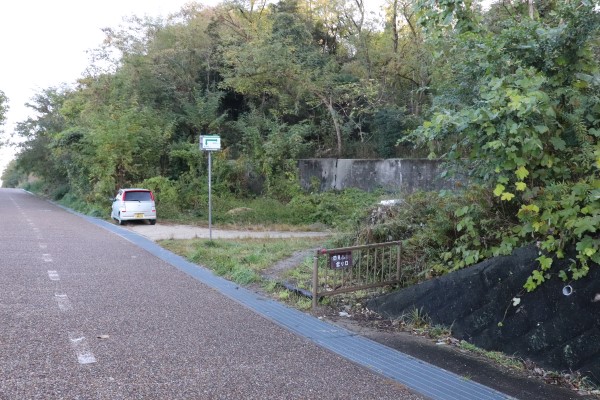
The Ikoma Nature Trail starts near the Tsuda Station of JR Gakkentoshi Line. It is roughly 20-30 minutes from Kyobashi Station of the Osaka Loop Line. From Tsuda Station, cross the rail tracks and walk towards the highway. You will find the entrance to the trailhead just after you cross the highway.
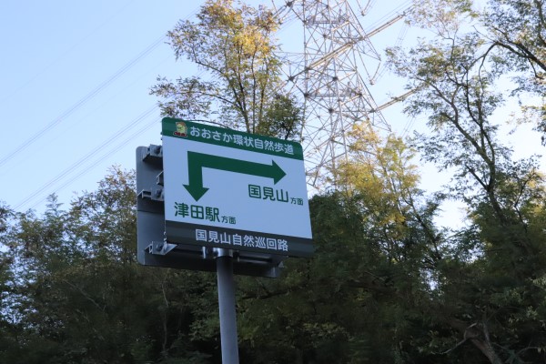
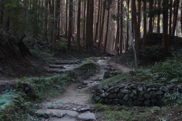
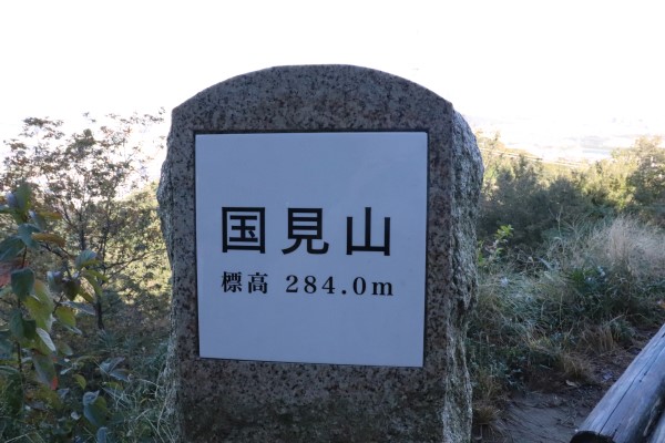
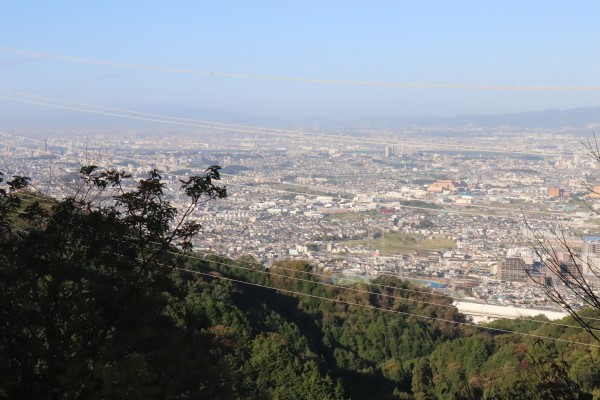
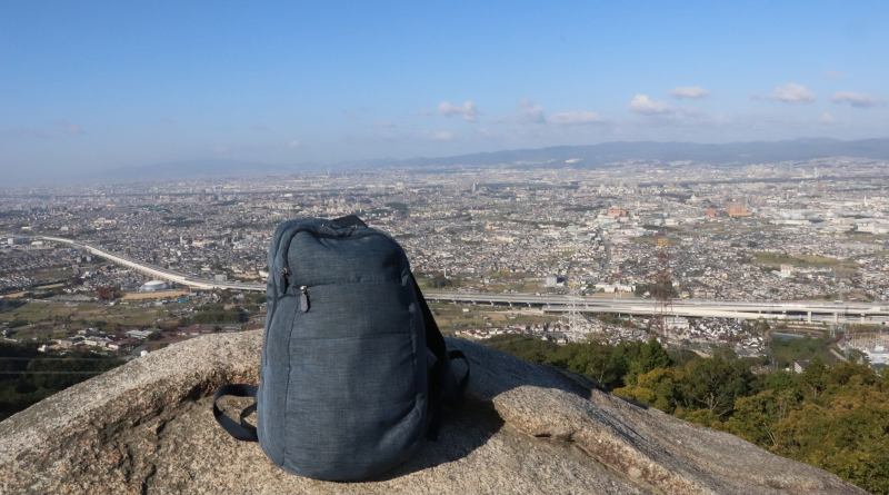
The first mountain you will climb is Mt. Kunimi. It is only 284m and you will be on the top of the mountain in 30 minutes from the trailhead. It is quite surprising not only because there is such a mountain in the city but also because you can have a magnificent view of the city. The actual top is just a bit away from the trail, so make sure to drop by!
The next mountain after Mt. Kunimi is Mt. Kono. After passing Shirohata Pond and Katano Ikimono Fureainosato beside the pond, the steep climb to Mt. Kono starts.
On top of Mt. Kono are huge rocks, Kannon-iwa. As many sacred mountains in Japan has a huge rock on the top of the mountain, Mt. Kono is considered sacred for a long time. You can even sit or climb on the rock, but be very careful not to fall as there is no fence around it! From the top of the mountain, you can also have a magnificent view of the entire prefecture.
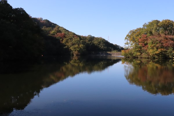
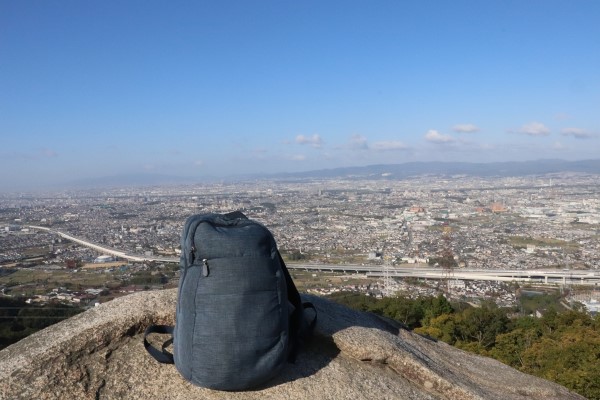
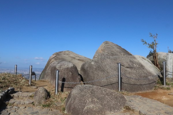
After Mt. Kono, the trail starts to decent and then goes along the prefectural route 7 to Kurondo Park. The trail originally crossed the outdoor activity center of Katano but the road is blocked after the center is closed. It takes another 30 minutes or so to Kurondo Park.
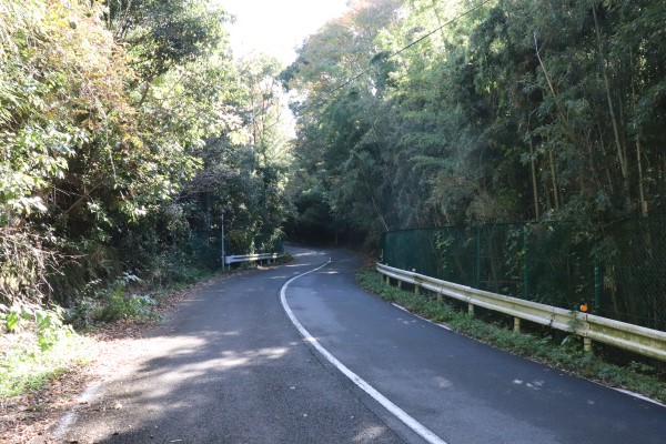
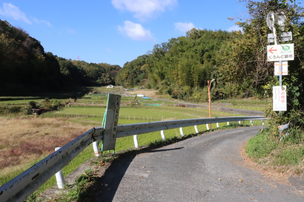
Kurondo Park
Kurondo Enchi or Kurondo Park is a prefectural park located on the north end of Ikoma Mountain chain. The park’s vast forests provide many facilities such as camping sites and athletic fields. The name “Kurondo” comes from Kurondo Pond, but the pond is located on Nara side of the park, so you have to derail from the trail a bit if you want to see the pond.
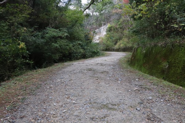
The park offers plenty of maps, so you can just check a map and spend some time exploring if you wish. To continue the Ikoma Nature Trail, go straight to the gravel road and get out of the park from the south-most entrance.
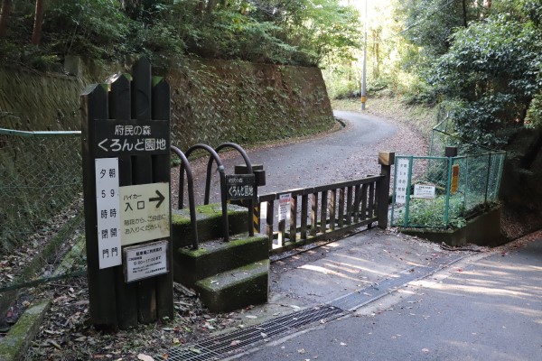
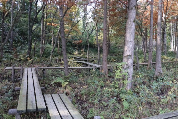
From Kurondo Park, you will turn right at Suiren-ike Pond and head down the mountain to the Keihan Kisaichi Station through Kurondo-ike Hiking Course. On the way, there is a beautiful gorge with several magnificent waterfalls, including Tsukinowa-taki Falls.
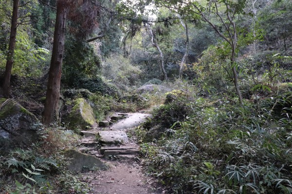
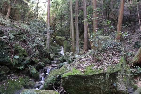
After getting out of Kurondo Park, you will head to Hoshida Park, going through a neighborhood. On the way, you will see the Keihan Kisaichi Station; so if you are tired, you can just call it a day here.
Hoshida Park
Hoshida Park is 30-45 minutes from Kisaichi station. In order to get to the park, you will go through Iwafune Gorge, first. The path is a well-maintained boardwalk along the Amanogawa River to Hoshida Park.
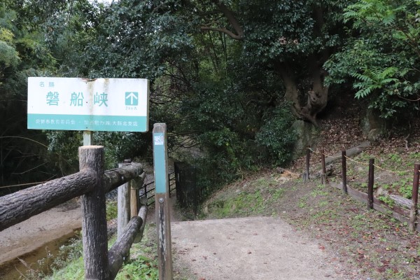
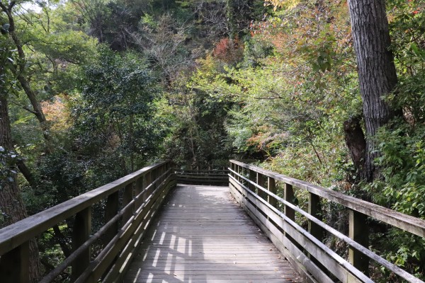
Hoshida Park, located in Katano City, is one of the most famous prefectural parks in Osaka as it has a giant, tall bridge, called Hoshi no Buranko, where you can enjoy the beautiful fall foliage when the season comes. It is 50m high and 280m long. Note that the bridge is closed on Tuesday though, but the park itself is still open.
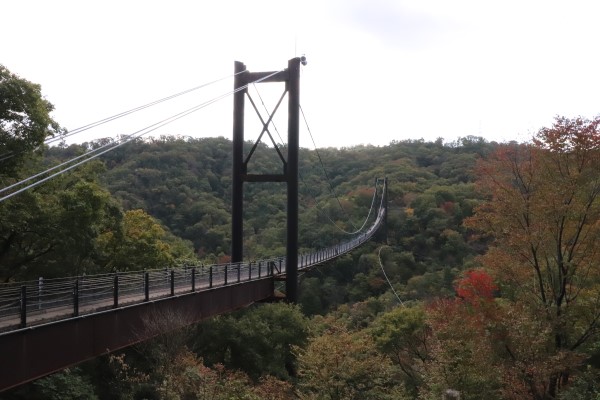
The Ikoma Nature Trail enters this park from the north entrance and after crossing the Hoshi no Buranko Bridge, the trail goes through Onesujii no Michi and then, goes into Seserragi no Michi to Iimori Cemetry. Do be careful that in the prefectural forest, the trail is neither referred to as the “Osaka Circuit Nature Trail” nor the “Ikoma Nature Trail”.
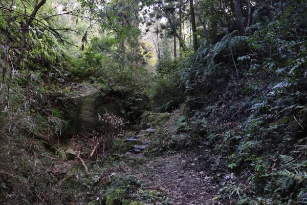
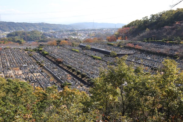
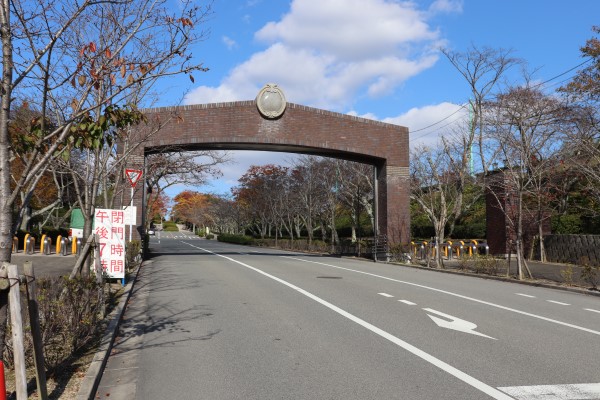
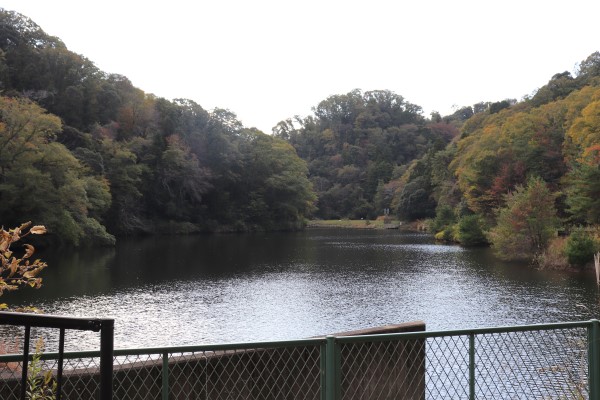
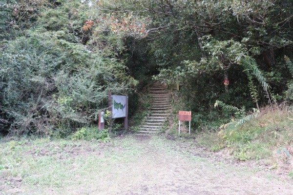
After getting out of the cemetery, you are going to head to Muroike Park. However, it is a bit hard to find the trail again. After going through a small neighborhood and Ebisu Park there, the trail is behind Dooike pond. It is kind of hidden, but trust me, it is there!
Muroike Park
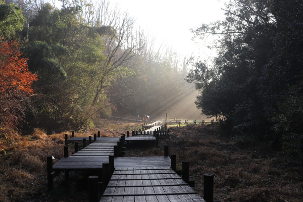
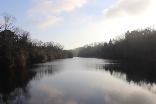
Another 30 minutes from the rather hidden path behind Dooike Pond, will bring you to Muroike Park. This is a quite big park with many tennis courts, a baseball stadium, and a camping site on the north side. The south side of the park is dedicated to the nature site surrounding the pond, Muroike.
If you are tired here, you can take a Shijonawate City community bus to Shijonawate Station at the Osaka bus stop from the north side of the park. It is very convenient that you don’t have to walk down the mountain at all.
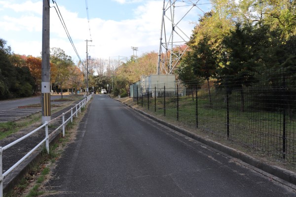
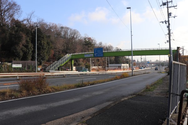
After getting out of Muroike Park, the trail runs into Hanna Road, the highway connecting Nara and Osaka. Right around there, Ikoma Tozanguchi (Mt. Ikoma trailhead) bus stop is located, and you can take a bus to Suminodo Station of JR Gakken Toshi Line (bus comes only once an hour).
Since it is already 7 hours since we started to walk, we stopped our journey here on the day. There were many things to see along this section, but there were several steep ups and downs on the way. That being said, the trail was much easier to walk compared to Diamond Trail.
From here, the trail will go to Mt. Ikoma– the main mountain of Ikoma Moutain Chain!
Leave a Reply