Kitayama East Course: Hiking the Kyoto Circuit Trail
The Kitayama East course is a part of Kyoto Circuit Trail runs from Mt. Hiei to Ninose through Ohara and Kurama. Most of the trail goes into the mountains around Kyoto City. The trail can be pretty steep at times, and there are not many destinations or famous temples along the way, but if you truly want to experience the natural scenery of Japan, this is for you!
Note: See here for the other entries of our Kyoto Isshu Trail (Kyoto Circuit Trail) series.
Kitayama East Course
Kitayama East Course: Cable-Hiei Station – Mizuiyama
The Kitayama East Course starts from the Cable-Hiei Station. The first part of the trails goes to Mt. Hiei. Mt. Hiei is a big mountain (848m), and sometimes it has a little snow in winter. If you decide to hike this trail in winter, be sure you wear the right footwear!
We advise you start the trail no later than 10 o’clock if you wish to walk to Kurama. Also, Keep in mind that it takes about an hour to get from the center of Kyoto City to the Cable-Hiei Station.
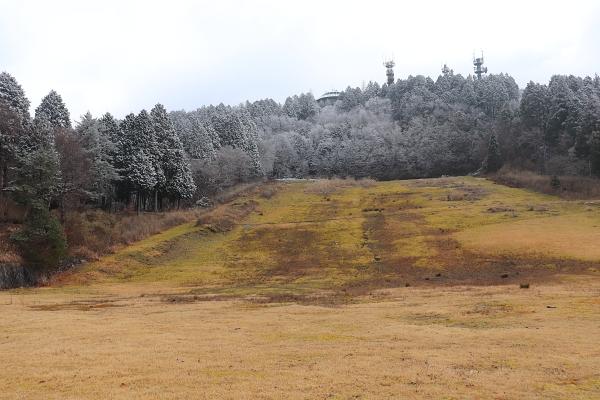
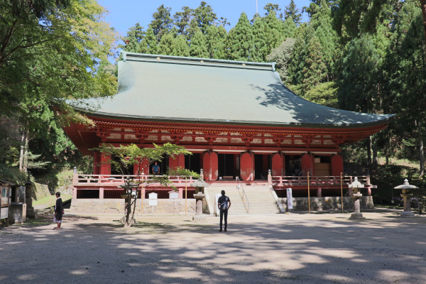
The trail for the Kitayama East Course goes right next to the Shaka-do of Enryaku-ji and along the Hieizan Driveway, a scenic toll road that connects Otsu to Mt. Hiei.
Though typically almost nobody walks on this path, it is used in one of the strictest rituals in Enryaku-ji, called Kaihogyo, where you go visit Toto, Saito, Yokawa and Hiyoshi Shrine on foot for 1,000 days without any rest days. Traditionally, if you fail you were supposed to commit a suicide!
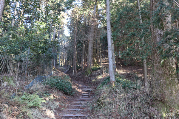
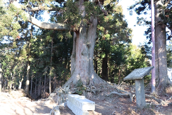
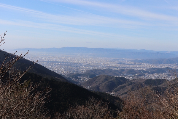
Right after we passed the Gyokutaisugi, we reached a fork. If you turn right at the fork, you will be in Yokawa. Yokawa is a part of the Enraku-ji temple complex and is known as the birthplace of omikuji.
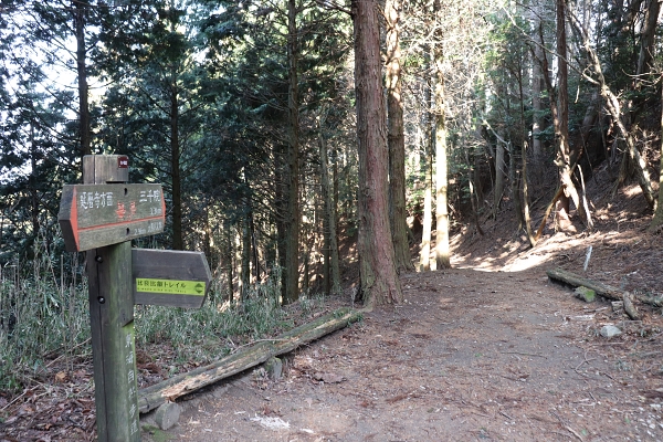
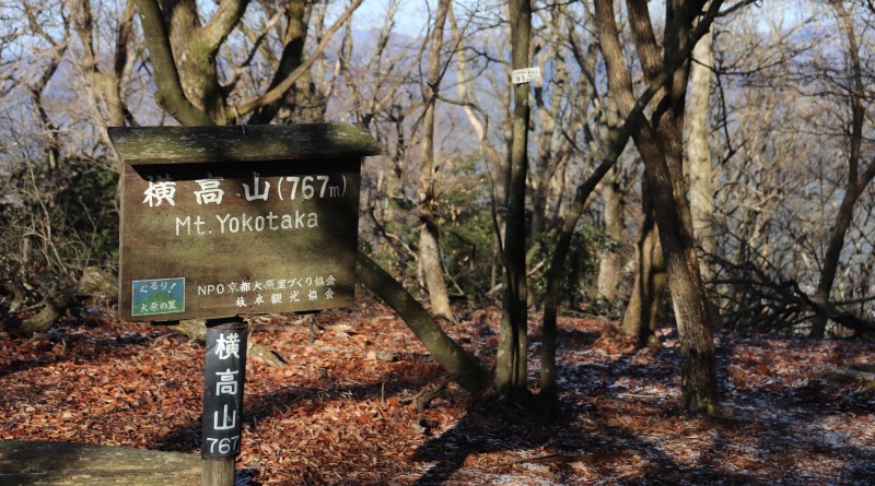
The trail goes straight and then up two mountains in a row. This area is one of the steepest slopes in the entire Kyoto Circuit Trail. Try your best! First, you will head up Mt.Yokotaka and then Mt. Mizuiyama.
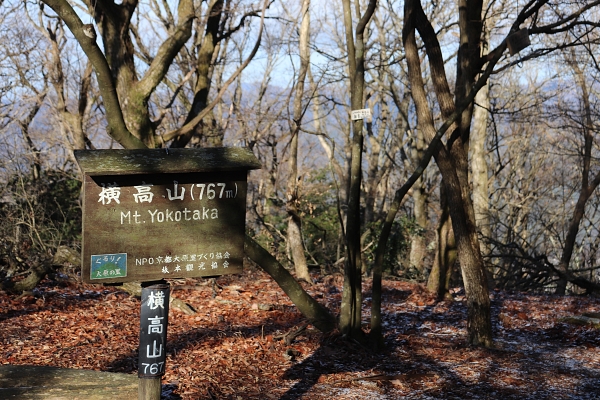
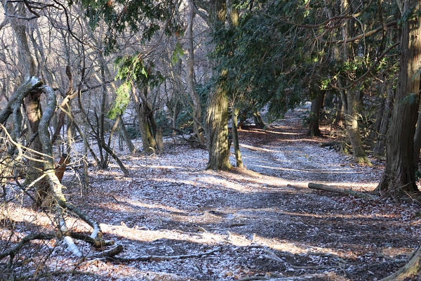
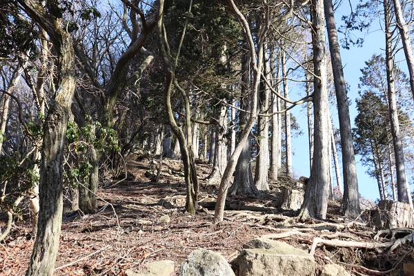
Kitayama East Course: Ohara – Ebumi-toge Pass
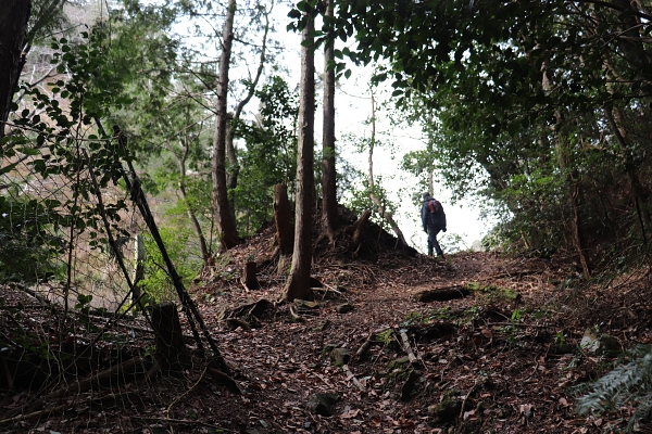
After we left Mt. Mizuiyama, the hard part is over. Once the trail goes in the woods, it is just another hour to Ohara.
Before long, we arrived the outskirts of Ohara (technically Ohara Todera). Central Ohara, is home to many temples, such as Jyakkoin and Sanzenin. Unfortunately, if you want to finish the trail in one day, you most likely won’t have time to visit them.
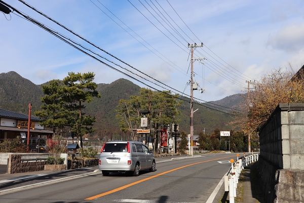
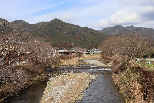
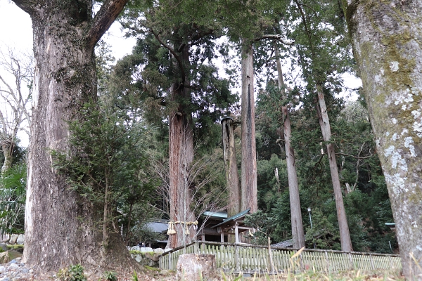
In Todera, cross the Takanogawa River and head towards Ebumi Shrine. The trail turns left just before the shrine. From here to Kurama is only 5km and it takes about an hour and a half!
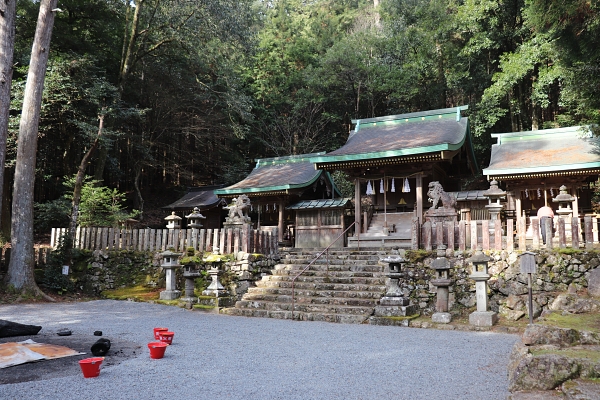
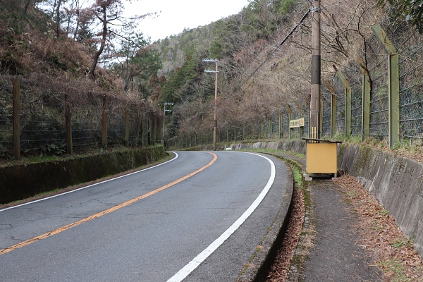
At this point the trail becomes a little hard to follow. After Ebumi Shrine, don’t just keep following the mountain path because it goes to Mt. Konpira. Around Ebumi-toge Pass, you have to turn left and cross a main road.
Kitayama East Course: Shizuhara – Kurama
After the Ebumi-toge Pass is little community of Shizuhara. We’ve reached the last leg of the trail!
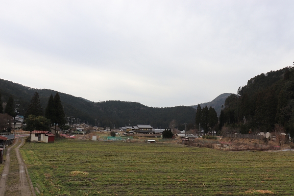
From Shizuhara, the trail goes up the Yakuozaka Slope. The famous monk Saicho allegedly used this slope to walk to Mt.Hiei while carrying a statue of Yakushi Nyorai.
The trail is almost over. Just one more large slope. Almost there!!!!
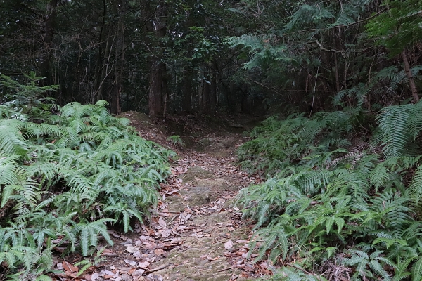
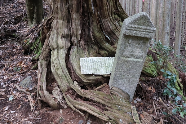
At last, we’ve reached Kurama! Kurama has two big tourist attractions: Kuramadera Temple and Kifune Shrine. These are some of the most famous destinations in Kyoto, so if never have visited them, you should someday! We were too burned out from a full-day of hiking, not to mention we had to get home.
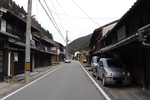
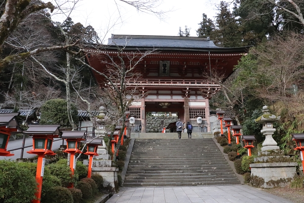
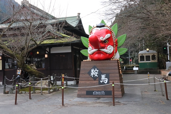
After Kuramadera Temple, follow the railroad to Ninose. The road here is pretty narrow and there is fairly regular traffic, so be careful!
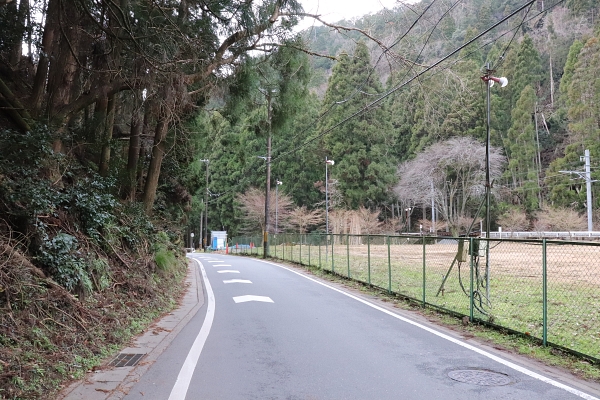
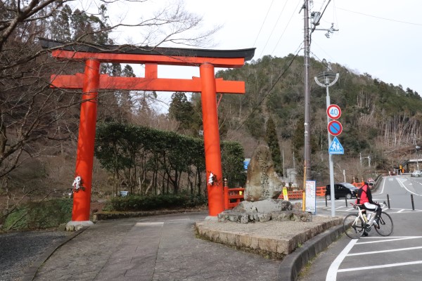
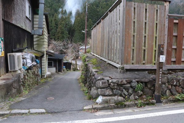
15 minutes from Kurama is Ninose, the starting point of Kitayama West Course! Check out more trails on the Kyoto Circuit Trail.
Leave a Reply