The Diamond Trail Final: Kimi Pass to Mt. Makio
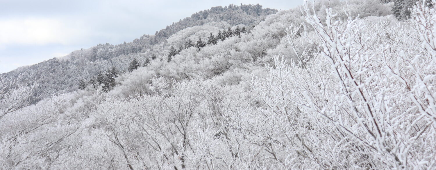
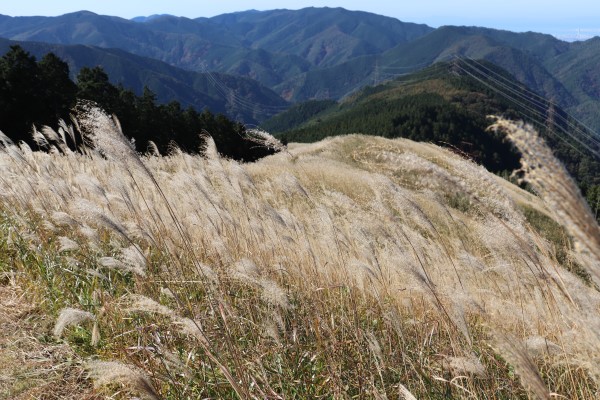
Our journey on the Diamond Trail began at Tonzurubo and passed many mountains and deep forests. Finally, we face the final third– the last part of the Diamond Trail. The final section starts at the Kimi Pass and runs to Mt. Makio. It will ultimately take around 5-6 hours to cover the final 15km. Compared to the first and second sections of the trail, this part is a bit easier and is especially beautiful when the pampas grass on Mt. Iwawaki is in season during mid to late November.
The Diamond Trail [Final]
Kimi Pass- Mt. Iwawaki
So, we begin again at the Kimi Pass. The closest station is Kimo-toge Station of Nankai Koya Line, which is 40 minutes from Namba. To find the start of the trail, leave the station and walk along Koya Kaido for about 30 minutes. While many people being their climb of Mt. Iwawaki at the Kimi-toge Station, the trailhead for the Diamond Trail is not the same as the one for Mt. Iwawaki, so be careful you use the right trail!
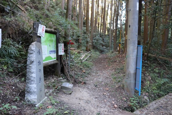
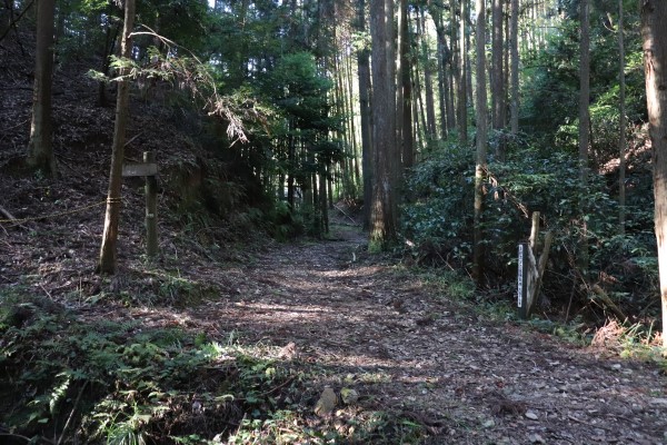
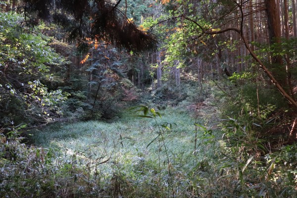
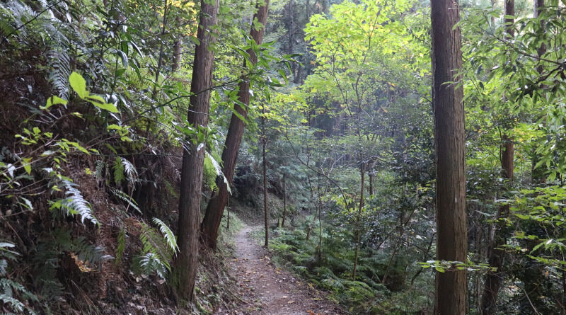
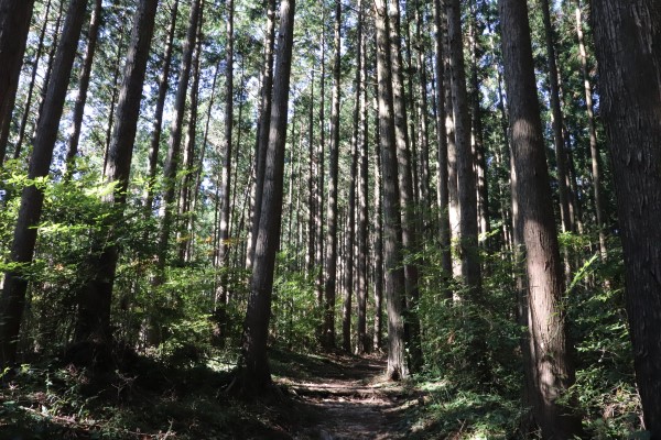
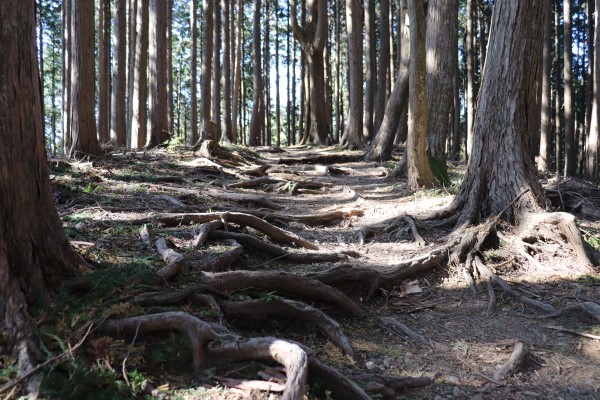
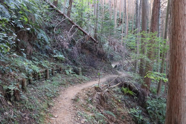
From the trailhead, the trail goes up Mt.Iwawaki. As this is the least popular part of Diamond Trail, we didn’t see anybody walking this part of the trail, so it was pretty quiet.
After Sango-me, you will see many more people on the trail. Here the Diamond Trail merges with a more popular trail that goes up Mt. Iwawaki. Also, after Sango-me, the trail evens out a lot.
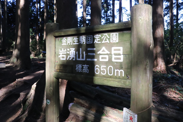
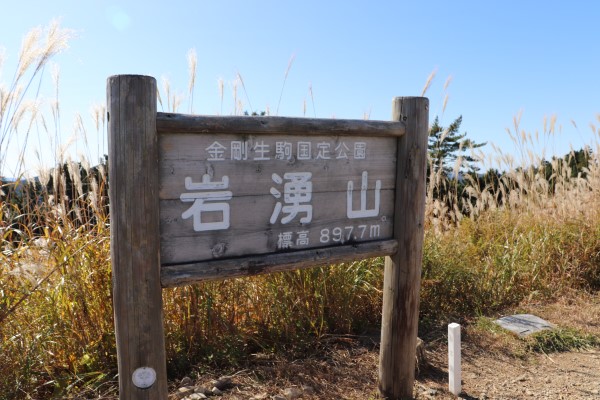
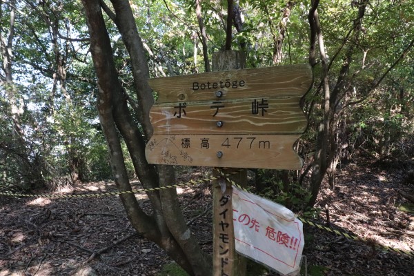
Mt. Iwawaki
About 3 hours after starting the trail at the Kimi Pass, we arrived at the top of Mt. Iwawaki. When we went there the susuki, or Japanese pampas grass, covered the mountain top with its fluffy white tufts.
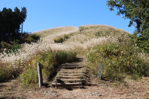
Though this mountain is quite popular, there was no vending machine nor booth (but there was a bathroom!). The field on the top of the mountain was very crowded. It was so crowded in fact, I thought that the people who came here later in the day may not have any space to enjoy their lunch…
Mt. Iwaawaki – Takihata
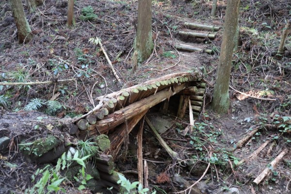
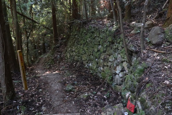
From Mt. Iwawaki, the trail starts to descend. At first, it might seem pretty easy but, of course, since this is the Diamond Trail there are a ton of stairs. If you hate climbing stairs, I’m sorry to say but this might be torture! In November, many people use this part of the trail from Takahata to the Kimi Pass because the bus service from the Takihata Station to Kawachi Nagano Station is pretty convenient.
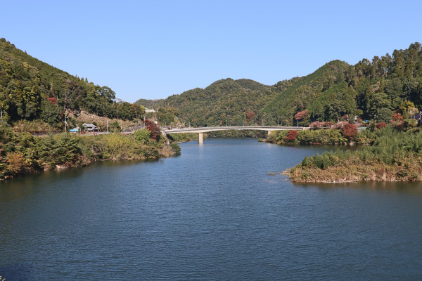
In the town of Takihata is the Takihata Dam, one of the biggest dams in Osaka. While Takahata is a pretty place, it is in fact one of the most haunted places in Japan. Even in 2016, there was an accident where a car fell into the dam for unknown reasons, killing 5 people. Traffic here is surprisingly busy, but as long as it is daytime, I think it should be fine.
Takihata – Mt.Makio [Diamond Trail End]
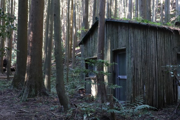
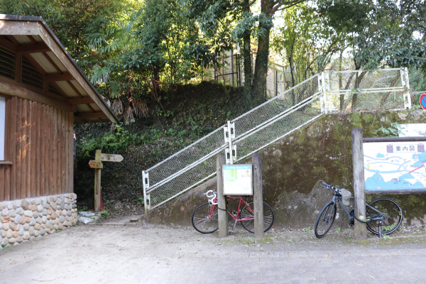
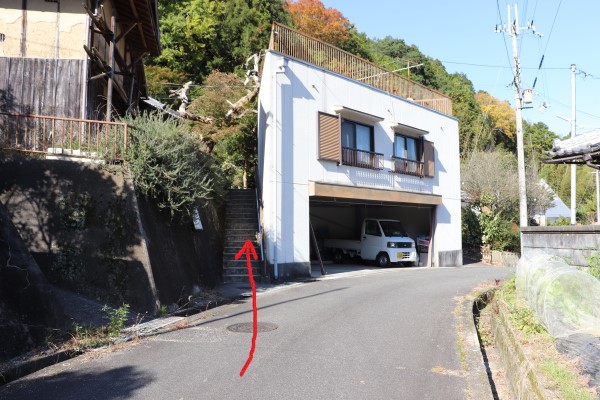
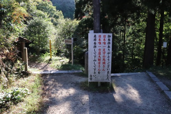
After walking through the little community of Takihata, you walk across the river and start heading up the mountain again. The trailhead is right next to a house, so it’s a bit hard to find.
From here it is only another hour to reach Mt. Makio. The trail is pretty even at this point, so if you’ve made it this far, you can finish the trail with ease.
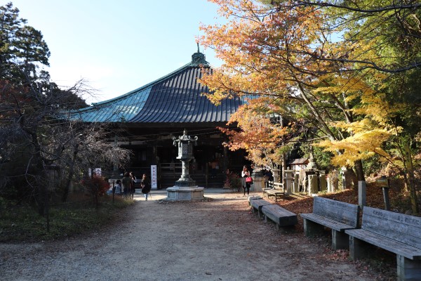
On Mt. Makinoo is Sefuku-ji Temple. The closer you get to the temple, the more jizo you will see!
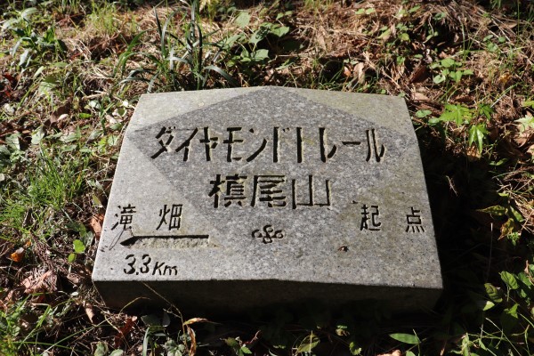
Finally, we arrived at Mt. Makio. That’s it for the Diamond Trail! In total, it was 45kms from Tonzurubo to Mt. Makinoo. It was definitely tough, but going through all those mountains was truly a lot of fun. Not to mention it’s a nice sense of accomplishment to finish the trail. If you are tough enough and love mountains, this trail is definitely worth trying!
From Mt. Makio, you have to walk additional 30 minutes to climb down the mountain and from there, you can take an orange bus (more like a van) to Makinoosanguchi and changes buses for Izumiotsu for Nankai Line and Izumifuchu station of JR. The orange bus runs only a few times a day, and if you miss the bus you will likely have to walk 5km to the Makinoosanguchi bus stop. From there you can get more bus service to Izumiotsu and Izumifuchu.
Wanna hike more? Around here is another long trail that runs from Mt. Makio to the southern tip of Osaka prefecture!
Leave a Reply