
Higashiyama Course 2: Hiking the Kyoto Circuit Trail
The Higashiyama Course is a trail that is part of the 24.6 km long Kyoto Circuit Trail. This trail is one of the more popular trails on the Kyoto Circuit as for the first half of the trail, there are a number of temples and shrines along the way. The last half of the trail is a bit more rigorous and goes high into the mountains surrounding Kyoto City. If you are planning to hike the Higashiyama Course, make sure to have enough drinks and snacks before you leave!
Note: See here for the other entries of our Kyoto Isshu Trail (Kyoto Circuit Trail) series.
Kyoto Circuit Trail: Higashiyama Course
Higashiyama Course: Keage Station – Mt. Daimonjiyama
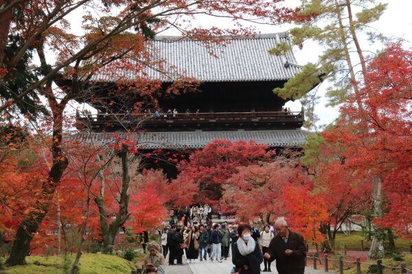
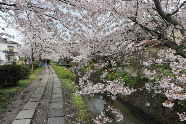
We will begin by resuming from where we left off in our last entry; at Keage Station. From there, the trail goes through a brick tunnel that passes near Nanzen-ji Temple. You could theoretically drop by Nanzen-ji, but as the temple is very large, we simply do not think you will have enough time to enjoy the temple and complete the trail. However, as you pass by the main gate in the fall you can at least see the pretty momiji around the temple.
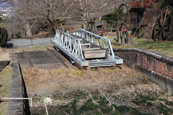
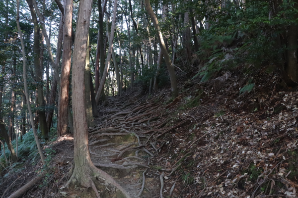
As you go past Nanzen-ji Temple, the trail will gradually start to go up, and before long will be at a fairly steep incline. There used to be a boat between Otsu and Kyoto via the Lake Biwa Canal. These ramps were used to carry the boats, as well as cargo, up the steep hill to the canal.

Higashiyama Course: Daimonjiyama – Ginkaku-ji Temple
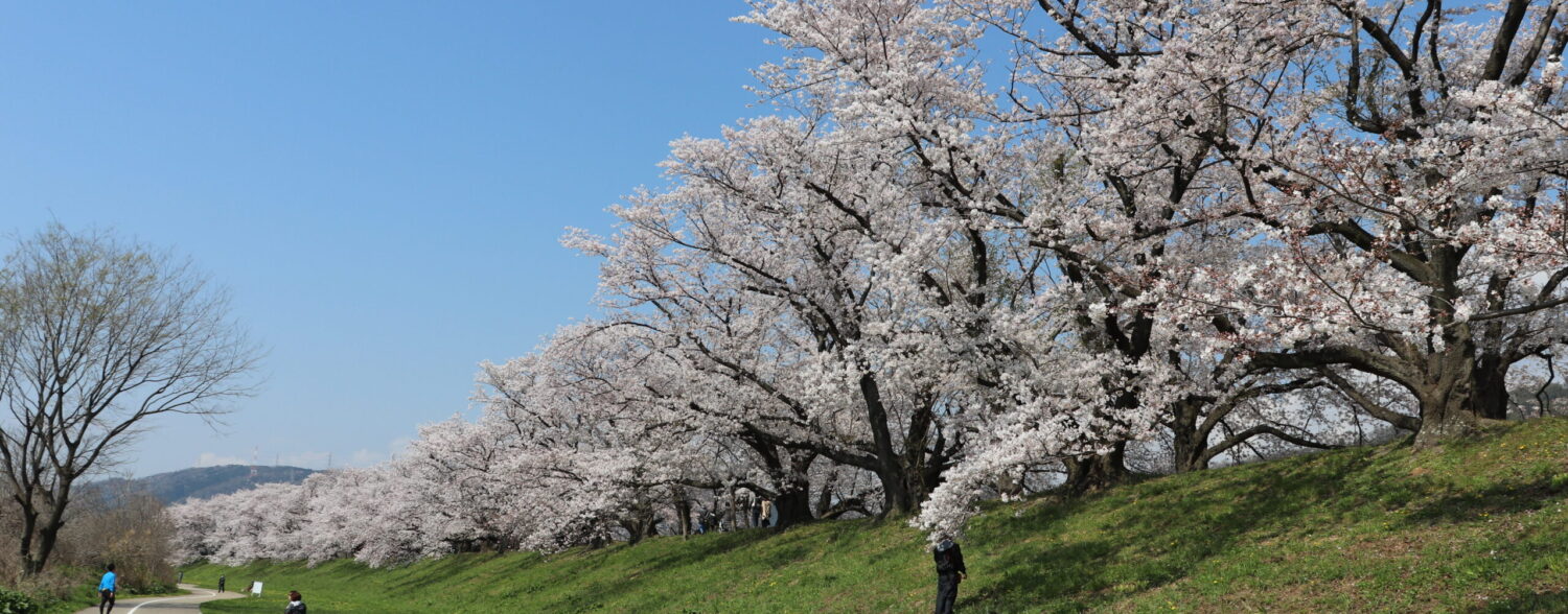
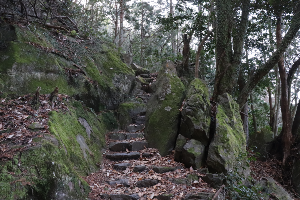
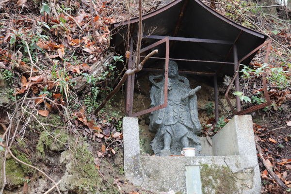
Before you realize it, you will hiking up Mt. Daimonjiyama (466m)! The name “Daimonji” comes from the fact that you can see Daimonji or [大] during the Gonzan no Okuribi Festival held in August every year. Since this mountain is one of the most popular attractions in Kyoto, you will see many more people on this part of the Higashiyama Course. The first 30 minutes of this part of the trail is pretty hilly, but it gradually becomes less steep and is a very comfortable walk.
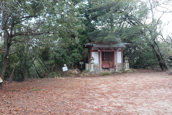
Higashiyama Course: Ginkaku-ji – Cable-hiei Station
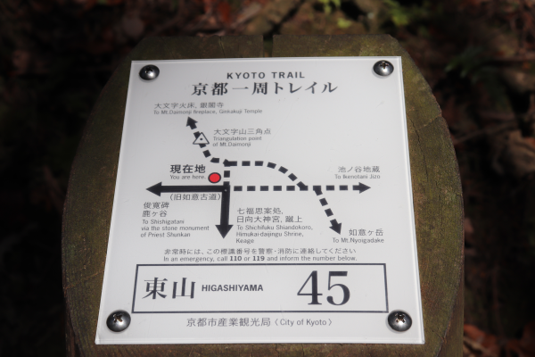
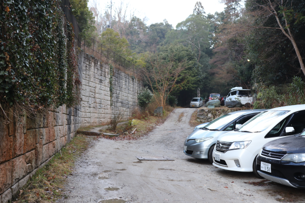
From Ginkaku-ji, you will walk through some residential areas and towards Baptist Hospital. The trail is a little confusing here, as there is nothing to really help you stay on course. If you get lost, just type Baptist Hospital Kyoto on your Google map and follow the route. The trail to Mt. Hiei starts right behind the Baptist Hospital’s parking lot.
While up to this point, the hike has been more or less easygoing, but from here the trails get more rugged. Again, make sure to have enough water and food before you embark on this part of the trail since you will not see any convenience stores or vending machines for many hours. Mt. Hiei is 848m high, so enjoy a bit of a brisk hike from here!
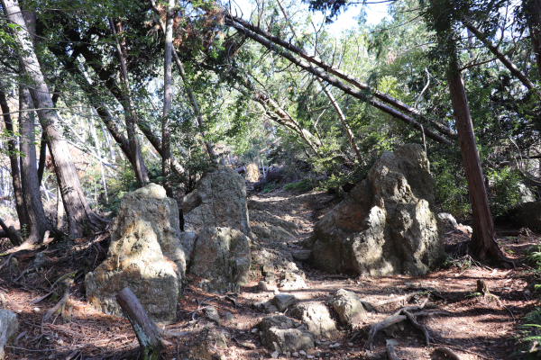
The granite rock between Mt. Hiei and Mt. Daimonjiyama formed thousands of years ago from volcanic activity. As you are hiking along, be careful where you step! The granite can be very slippery when it is wet.
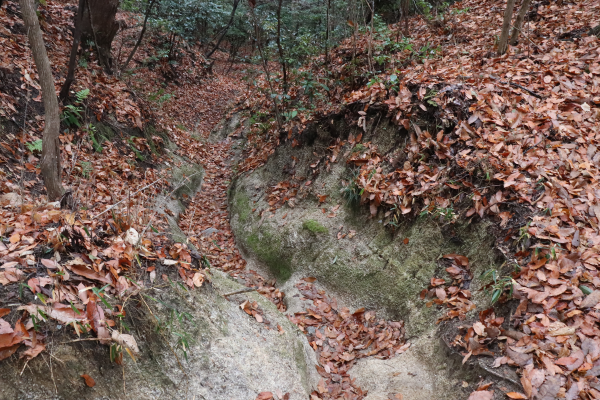
It is interesting to know that these rocks are often harvested and processed into a special kind of gravel called shirakawa suna that is widely used in Japanese rock gardens throughout Kyoto.
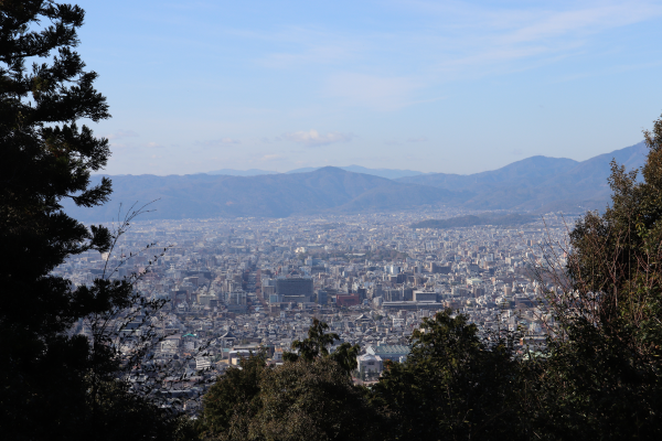
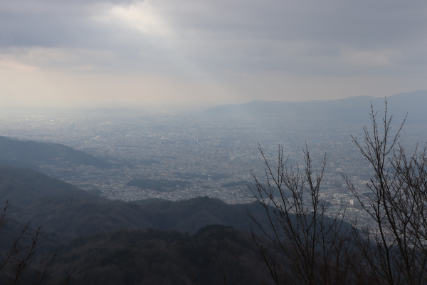
2 hours from Ginkaku-ji will bring you to this observation point on Mt. Hiei. On a clear day, you can see as far as Osaka. I thought this was the summit of Mt. Hiei but it’s not. In fact, what people call Mt. Hiei is actually two separate mountains, Mt. Suimeidake and Mt. Daihiei, whose summits are near the Garden Museum and Toto of Enryaku-ji respectively.
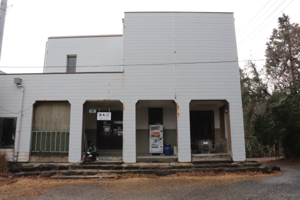
Finally, once you reach the Cable-hiei Station, you are at the end of the Higashiyama Course. From here is the beginning of the Kitayama East Course. During the winter, you can take a cable car from here, back to Kyoto. During other times of the year, you have to walk another mile along the Kitayama Course to take the cable car for Otsu.
Head back to our main post on the Kyoto Circuit Trail for more courses!
Leave a Reply